
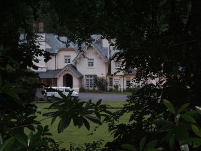
Lancych, adeilad rhestredig Gradd II* yng Nghlydau
Location: Clydau
Elevation above the sea: 26.8 m
Part of: Lancych Estate
GPS coordinates: 52.01650,-4.53707
Latest update: May 5, 2025 15:07
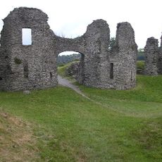
Newcastle Emlyn Castle
5.6 km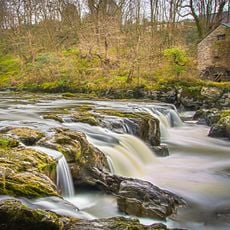
Cenarth Falls
3.4 km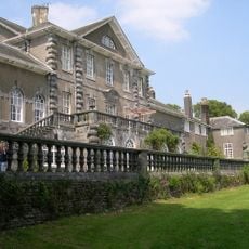
Ffynone
1.8 km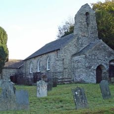
Manordeifi Old Church
5.7 km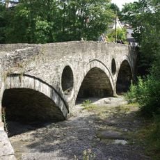
Cenarth Bridge
3.3 km
Town Hall & Market Buildings, Market Square
5.4 km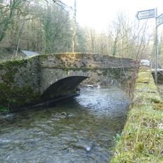
Pont Cych
2.7 km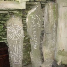
Inscribed stones at St Clydai's Church
3 km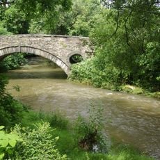
Pont Treseli
1.9 km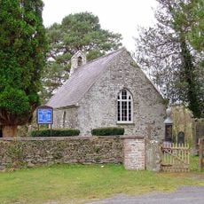
Church of St Mary
6 km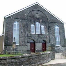
Eglwys Annibynnol Llwyn-yr-hwrdd
6.6 km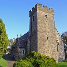
Church of Saint Clydai
3.1 km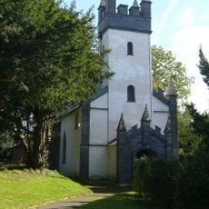
Church of St.Colman, Capel Colman
4.3 km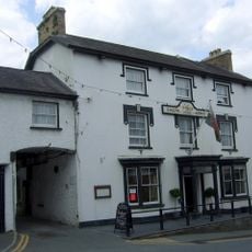
The Emlyn Arms Hotel, Including attached Ranges Each Side & Rear Outbuildings, Bridge Street/Heol Y B
5.4 km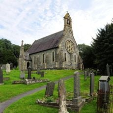
St Llawddog's Church
3.3 km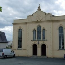
Bethel Chapel
5.3 km
Ebeneser Independent Chapel
5.3 km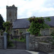
Church of The Holy Trinity, Including Churchyard Monuments & Boundary Walls, Church Street
5.3 km
Capel Iwan Independent Chapel
3.6 km
The Three Horseshoes Inn, A484 (Ne Side)
3.3 km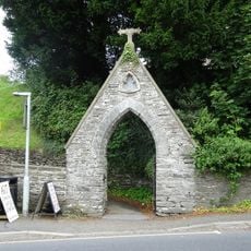
Gateway to Churchyard, A484 (Ne Side)
3.3 km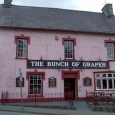
The Bunch Of Grapes Inn, bridge Street/heol Y Bont
5.4 km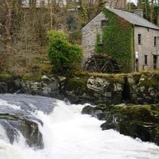
Cenarth Mill
3.4 km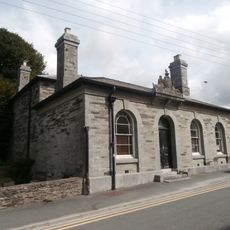
Newcastle Emlyn Library
5.3 km
Pentre Mansion
3.8 km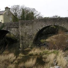
The Bridge, bridge Street/heol Y Bont
5.5 km
Angel House (J.David Lewis Premises) Sycamore Street
5.4 km
St Cristiolus' Church
4.4 kmReviews
Visited this place? Tap the stars to rate it and share your experience / photos with the community! Try now! You can cancel it anytime.
Discover hidden gems everywhere you go!
From secret cafés to breathtaking viewpoints, skip the crowded tourist spots and find places that match your style. Our app makes it easy with voice search, smart filtering, route optimization, and insider tips from travelers worldwide. Download now for the complete mobile experience.

A unique approach to discovering new places❞
— Le Figaro
All the places worth exploring❞
— France Info
A tailor-made excursion in just a few clicks❞
— 20 Minutes