
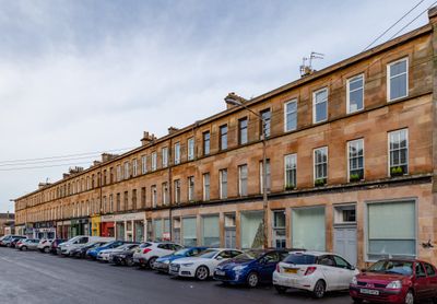
12, 14, 16 Nithsdale Road, building in Glasgow City, Scotland, UK
Location: Glasgow City
Location: Glasgow
GPS coordinates: 55.83660,-4.27071
Latest update: March 2, 2025 23:04
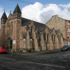
178 Queen's Drive, Queen's Park Baptist Church And Hall
112 m
72 Nithsdale Road
109 m
794 Pollokshaws Road
144 m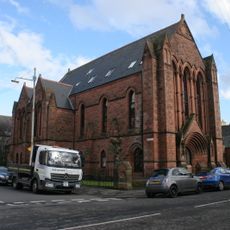
174 Queen's Drive, former Seventh Day Adventist Church
159 m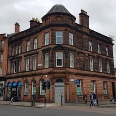
5 Torrisdale Street, Bank Of Scotland
59 m
18, 20, 22 Nithsdale Road
15 m
734, 736, 738 Pollokshaws Road
21 m
4, 6, 8 Nithsdale Road
12 m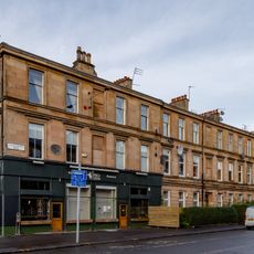
778, 780, 782 Pollokshaws Road
87 m
749, 751, 753 Pollokshaws Road
144 m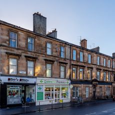
759 Pollokshaws Road
158 m
772 Pollokshaws Road
79 m
1 Moray Place
171 m
66, 68, 70 Nithsdale Road
103 m
34 Regent Park Square
147 m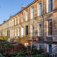
4 Regent Park Square
88 m
754, 756, 758 Pollokshaws Road
40 m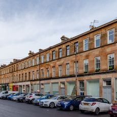
26, 28, 30, 32 Nithsdale Road
33 m
764 Pollokshaws Road
64 m
802 Pollokshaws Road
161 m
32 Regent Park Square
141 m
76 Nithsdale Road
121 m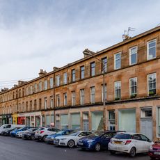
56, 58, 60, 62 Nithsdale Road
88 m
46, 48, 50, 52, 54 Nithsdale Road
72 m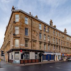
742, 744, 746 Pollokshaws Road
18 m
36, 38, 40, 42, 44 Nithsdale Road
47 m
1 Regent Park Square
130 m
30 Regent Park Square
135 mReviews
Visited this place? Tap the stars to rate it and share your experience / photos with the community! Try now! You can cancel it anytime.
Discover hidden gems everywhere you go!
From secret cafés to breathtaking viewpoints, skip the crowded tourist spots and find places that match your style. Our app makes it easy with voice search, smart filtering, route optimization, and insider tips from travelers worldwide. Download now for the complete mobile experience.

A unique approach to discovering new places❞
— Le Figaro
All the places worth exploring❞
— France Info
A tailor-made excursion in just a few clicks❞
— 20 Minutes