The Elms, building in Reigate and Banstead, Surrey, UK
Location: Reigate and Banstead
GPS coordinates: 51.23997,-0.20790
Latest update: October 25, 2025 18:31
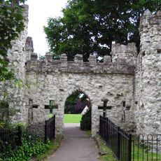
Reigate Castle
123 m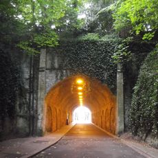
Reigate Tunnel
220 m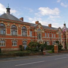
Reigate Town Hall
205 m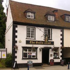
The Bull's Head Inn
265 m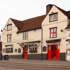
The Red Cross Hotel
243 m
Latrobe's Shop
269 m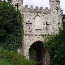
Reigate Castle Gateway
164 m
Baron's Cave
171 m
48 And 50, High Street
243 m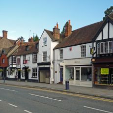
46, High Street
244 m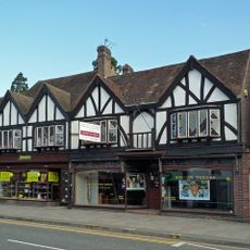
The Reigate Taylors
248 m
28-32, High Street
254 m
82 High Street
242 m
70, High Street
241 m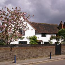
10, Slipshoe Street
226 m
32, Nutley Lane
232 m
44, High Street
245 m
26, London Road
206 m
77 And 77A, High Street
271 m
53 And 53A, High Street
263 m
61 And 63, High Street
268 m
18A And 20, Upper West Street
251 m
Sunningdale
220 m
42, High Street
247 m
12, High Street
265 m
Castle Cottage
204 m
Reigate Tunnel Road Caves
229 m
Margo Fonteyn
188 mReviews
Visited this place? Tap the stars to rate it and share your experience / photos with the community! Try now! You can cancel it anytime.
Discover hidden gems everywhere you go!
From secret cafés to breathtaking viewpoints, skip the crowded tourist spots and find places that match your style. Our app makes it easy with voice search, smart filtering, route optimization, and insider tips from travelers worldwide. Download now for the complete mobile experience.

A unique approach to discovering new places❞
— Le Figaro
All the places worth exploring❞
— France Info
A tailor-made excursion in just a few clicks❞
— 20 Minutes