
228 And 230, High Street, building in Guildford, Surrey, UK
Location: Guildford
Address: 228 And 230, High Street, Guildford, Surrey, GU1
GPS coordinates: 51.23689,-0.56824
Latest update: September 6, 2025 22:58
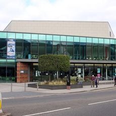
G Live
182 m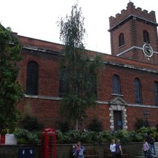
Holy Trinity Church, Guildford
206 m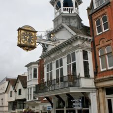
Guildford Guildhall
308 m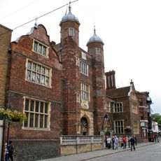
Abbot's Hospital
203 m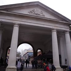
Tunsgate
304 m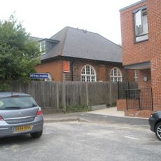
Bethel Chapel Guildford
296 m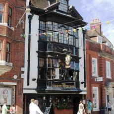
The Three Pigeons Public House
181 m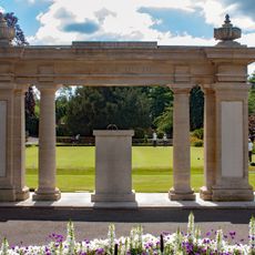
Guildford War Memorial
375 m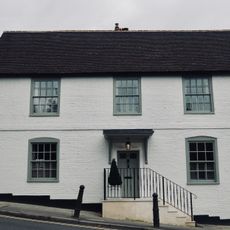
Pewley Cottage
333 m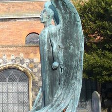
Memorial to Major Geoffrey Brooke Parnell, Holy Trinity Church, High Street, Guildford.
221 m
The Royal Oak Public House
212 m
The Bulls Head
324 m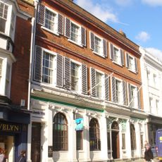
Lloyds Bank
275 m
Pair Of K6 Telephone Kiosks To Rear Of Tunsgate Arch
298 m
92, High Street
377 m
Somerset House
16 m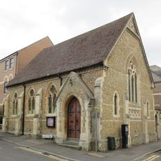
Former Chapel At North West End Of Ward Street Now Cyrenian House
311 m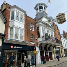
127, 129 And 131, High Street
315 m
Friends Meeting House
266 m
Disused Reservoir
291 m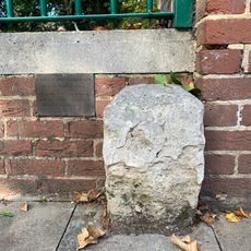
Boundary Stone Adjoining 193 To Right, Opposite Old Grammar School
46 m
90, High Street
382 m
1 and 1A, Sydenham Road
306 m
244, 246 And 246A, High Street
31 m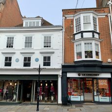
141 And 143, High Street
284 m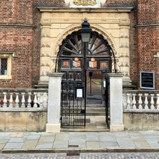
Entrance Walls And Gates To Hospital Of The Blessed Holy Trinity
204 m
Gas Lamp In Garden Of Remembrance, Approximately 8 Metres South West Of Castle Square Entrance
353 m
202, High Street
87 mReviews
Visited this place? Tap the stars to rate it and share your experience / photos with the community! Try now! You can cancel it anytime.
Discover hidden gems everywhere you go!
From secret cafés to breathtaking viewpoints, skip the crowded tourist spots and find places that match your style. Our app makes it easy with voice search, smart filtering, route optimization, and insider tips from travelers worldwide. Download now for the complete mobile experience.

A unique approach to discovering new places❞
— Le Figaro
All the places worth exploring❞
— France Info
A tailor-made excursion in just a few clicks❞
— 20 Minutes