
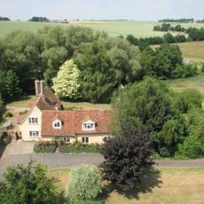
26 And 28, School Road, building in Kedington, St. Edmundsbury, Suffolk, UK
Location: Kedington
Address: 26 And 28, School Road, Kedington, St. Edmundsbury, Suffolk, CB9
GPS coordinates: 52.09227,0.48434
Latest update: March 3, 2025 02:35

Cotton Hall
1.2 km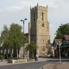
Church of St Mary
3.3 km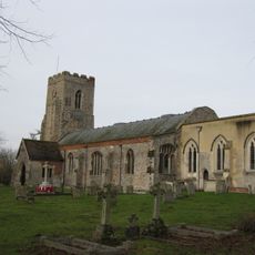
Church of St Peter and St Paul, Kedington
405 m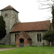
Parish Church of St Mary the Virgin
3.1 km
Old Independent Church
3.2 km
Church of All Saints
2.2 km
Church of St Mary
2.1 km
Church of St Mary
1.6 km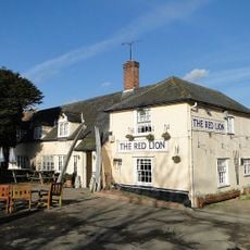
Red Lion Inn
1.9 km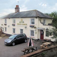
The White Horse Inn
142 m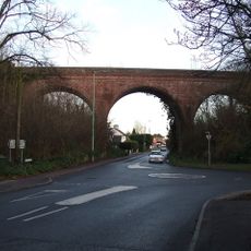
The Sturmer Arches
3 km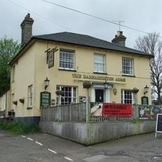
The Barnardiston Arms Public House
324 m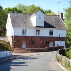
Water Mill
284 m
Anne Of Cleves House
3.2 km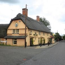
The Red Lion Public House
2.7 km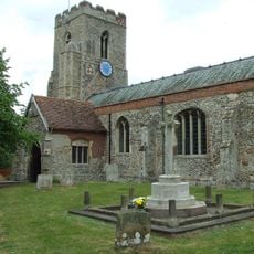
Kedington War Memorial
400 m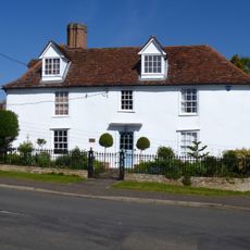
White House
290 m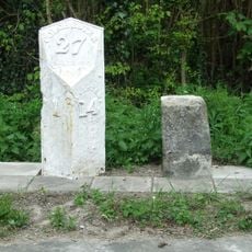
Milestone and milepost standing on the south side of Rowley Hill (A1017), around 60m south-east of its junction with Church Walk
2.8 km
Premises Approximately 70 Yards South-East Of Barton Place
398 m
House At Water Mill
311 m
The Old Forge
282 m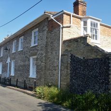
Suffolk House
325 m
Mill House
2 km
The Dell
273 m
Bridge House
296 m
Silvertails And Shameen
311 m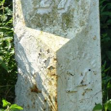
Milestone, Rowley Hill, W of jct with Church Croft
2.8 km
Milepost, Rowley Hill, W of jct with Church Croft
2.8 kmReviews
Visited this place? Tap the stars to rate it and share your experience / photos with the community! Try now! You can cancel it anytime.
Discover hidden gems everywhere you go!
From secret cafés to breathtaking viewpoints, skip the crowded tourist spots and find places that match your style. Our app makes it easy with voice search, smart filtering, route optimization, and insider tips from travelers worldwide. Download now for the complete mobile experience.

A unique approach to discovering new places❞
— Le Figaro
All the places worth exploring❞
— France Info
A tailor-made excursion in just a few clicks❞
— 20 Minutes