
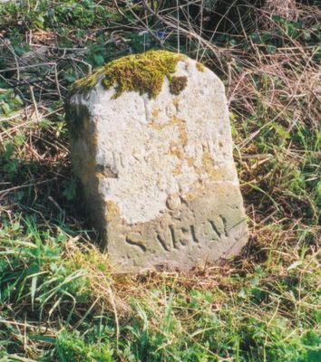
Milestone on Hungerford to Sarum Turnpike, milestone south of Wexcombe, Grafton, Wiltshire, UK
Location: Grafton
Inception: 18 century
GPS coordinates: 51.32302,-1.61830
Latest update: March 9, 2025 06:28
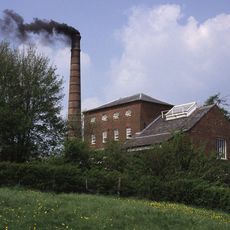
Crofton Pumping Station
4 km
Wilton Windmill
3.5 km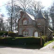
Fosbury House
4.1 km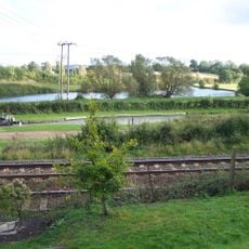
Wilton Water
4 km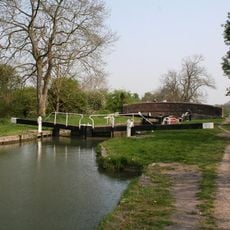
Bedwyn Church Lock
4.1 km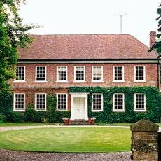
Brunton House
3.3 km
Church of St Michael
2.3 km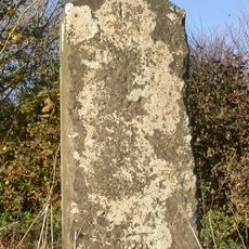
Milestone, Burbage Down; 130m S jcn A338 & lay-by
4.4 km
Church of St Mary
3.7 km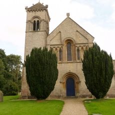
Church of St Nicholas
2.3 km
Church of All Saints
4.6 km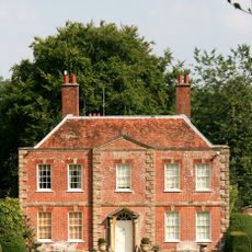
Tidcombe Manor
2.3 km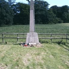
Fosbury and Oxenwood War Memorial
4.5 km
Plum Tree Cottage
4.6 km
230 And 232, High Street
4.5 km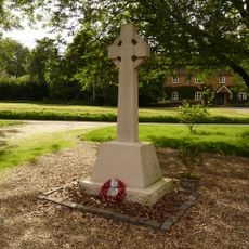
East Grafton War Memorial
2.3 km
Lychgate And Railings, Church Of St Nicholas
2.3 km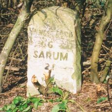
Milestone
3.2 km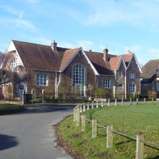
School And School House
4.6 km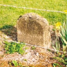
Milestone on Hungerford to Sarum Turnpike
1.6 km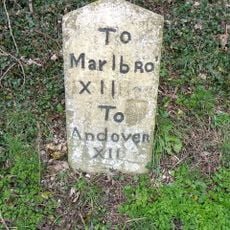
Milestone Opposite Aughton Farm
3.4 km
Milestone In Front Of Milend, At South End Of Village
4.1 km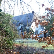
1 and 2, Grafton Road
4.2 km
218 And 220, High Street
4.5 km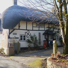
26, Eastcourt Road
4.5 km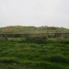
Long barrow on Fairmile Down
1.9 km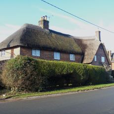
Cobweb Cottage Spiders
4.5 km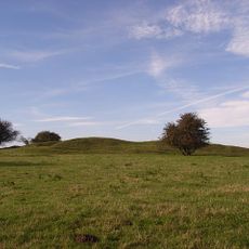
Long barrow 700m south of Tidcombe
2.6 kmReviews
Visited this place? Tap the stars to rate it and share your experience / photos with the community! Try now! You can cancel it anytime.
Discover hidden gems everywhere you go!
From secret cafés to breathtaking viewpoints, skip the crowded tourist spots and find places that match your style. Our app makes it easy with voice search, smart filtering, route optimization, and insider tips from travelers worldwide. Download now for the complete mobile experience.

A unique approach to discovering new places❞
— Le Figaro
All the places worth exploring❞
— France Info
A tailor-made excursion in just a few clicks❞
— 20 Minutes