
14, Downside, building in Epsom and Ewell, Surrey, UK
Location: Epsom and Ewell
Address: 14, Downside, Epsom and Ewell, Surrey, KT18
GPS coordinates: 51.32843,-0.25927
Latest update: July 5, 2025 22:46
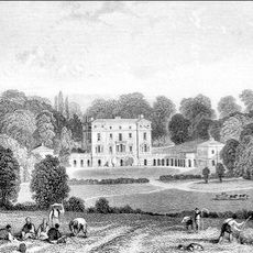
Woodcote Park
1.9 km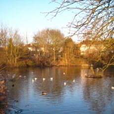
Epsom Common
2.1 km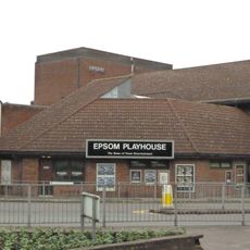
Epsom Playhouse
712 m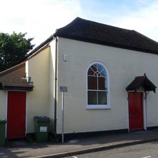
Bugby Chapel
778 m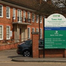
Epsom Town Hall
637 m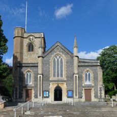
Parish Church of St Martin
264 m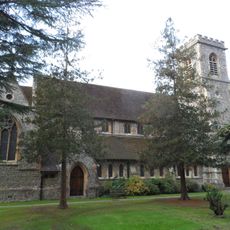
Christ Church
1.9 km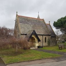
Epsom Cemetery Chapel (Church Of England)
942 m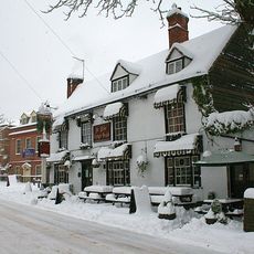
The Old Kings Head Public House
236 m
King William Iv Public House
2.4 km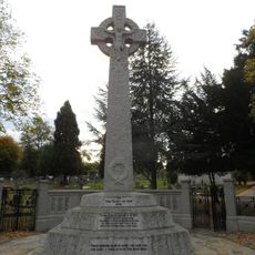
Epsom War Memorial
804 m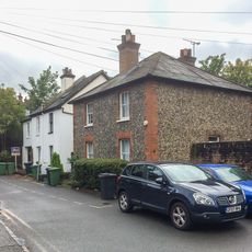
6 And 8, Clayton Road
746 m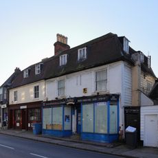
32 And 34, High Street
2.4 km
28 And 30, High Street
2.4 km
24A, High Street
2.5 km
40, High Street
2.4 km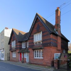
West Gardens, 9 and 11, West Street
2.4 km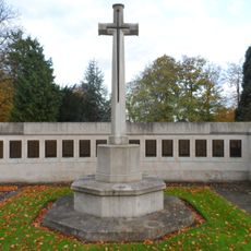
Epsom Cemetery Cross of Sacrifice, Epsom
832 m
10 and 12, Linton's Lane
1 km
19 And 21, East Street
826 m
26, High Street
2.4 km
Ashley House
703 m
Joiners Shop And General Stores Behind Nos 46 To 50
2.4 km
Ewell Grove County First School
2.4 km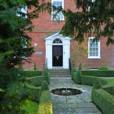
Chessington House
2.4 km
21, High Street
2.4 km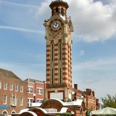
Clock Tower
832 m
147 and 149-153 High Street
881 mReviews
Visited this place? Tap the stars to rate it and share your experience / photos with the community! Try now! You can cancel it anytime.
Discover hidden gems everywhere you go!
From secret cafés to breathtaking viewpoints, skip the crowded tourist spots and find places that match your style. Our app makes it easy with voice search, smart filtering, route optimization, and insider tips from travelers worldwide. Download now for the complete mobile experience.

A unique approach to discovering new places❞
— Le Figaro
All the places worth exploring❞
— France Info
A tailor-made excursion in just a few clicks❞
— 20 Minutes