
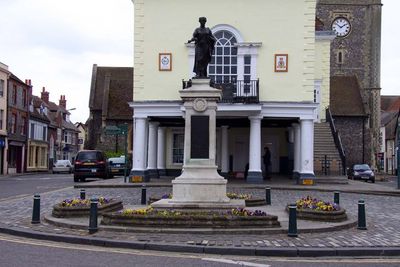
Wallingford War Memorial, war memorial in Wallingford, South Oxfordshire, Oxfordshire, UK
Location: Wallingford
Architects: Guy Dawber
GPS coordinates: 51.59997,-1.12470
Latest update: March 8, 2025 13:36

St Peter's Church, Wallingford
222 m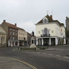
St Mary-le-More, Wallingford
44 m
Corn Exchange Theatre
43 m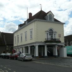
Town Hall
20 m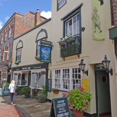
The Dolphin Public House
103 m
Regal Cinema
76 m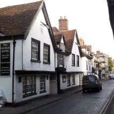
The George Hotel
146 m
Number 100 And Attached Gateway
240 m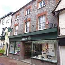
Milward Shoes
88 m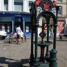
Drinking Fountain Approximately 40 Meters North Of The Town Hall
23 m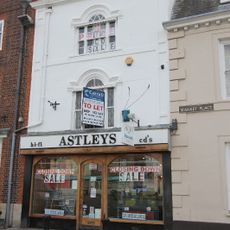
Astleys
29 m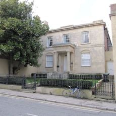
St Nicholas And Attached Railings
195 m
Colin Matthews
122 m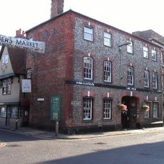
The Lamb Arcade
127 m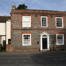
8 and 8B, Castle Street
197 m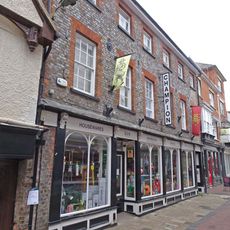
Champion And Company Limited
68 m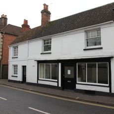
The Colophon Bookshop
225 m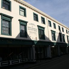
Pettits
223 m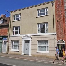
88, High Street
172 m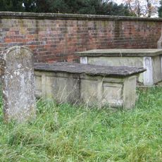
Chest Tomb Approximately 3 Metres North East Of Church Of St Peter
236 m
Castles Of Wallingford Pettits
135 m
17,18 and 19, High Street
154 m
92 And 93, High Street
203 m
Stoney's Restaurant
228 m
Thames House
212 m
Calleva House
201 m
Flint Cottage Flint House
234 m
St Michael's House
213 mVisited this place? Tap the stars to rate it and share your experience / photos with the community! Try now! You can cancel it anytime.
Discover hidden gems everywhere you go!
From secret cafés to breathtaking viewpoints, skip the crowded tourist spots and find places that match your style. Our app makes it easy with voice search, smart filtering, route optimization, and insider tips from travelers worldwide. Download now for the complete mobile experience.

A unique approach to discovering new places❞
— Le Figaro
All the places worth exploring❞
— France Info
A tailor-made excursion in just a few clicks❞
— 20 Minutes