
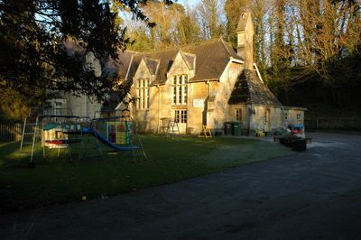
Kiddington County Primary School School House, house in Kiddington with Asterleigh, West Oxfordshire, Oxfordshire, UK
Location: Kiddington with Asterleigh
GPS coordinates: 51.90209,-1.39841
Latest update: March 3, 2025 12:36
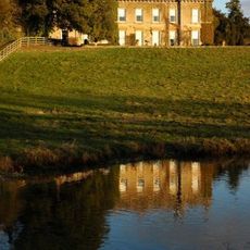
Kiddington Hall
320 m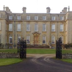
Ditchley
2.9 km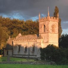
Church of St Edward the Confessor
3.3 km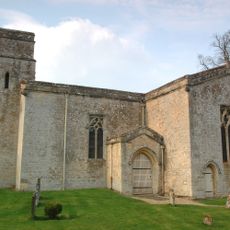
Church of St Nicholas, Kiddington
364 m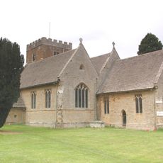
Church of St Mary
3.9 km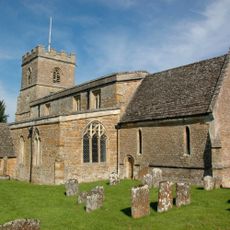
Church of St Martin, Sandford St Martin
3.9 km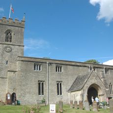
Church of St Mary, Wootton, Oxfordshire
3.8 km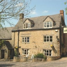
The Crown Inn
4.2 km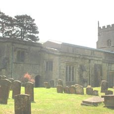
Church of St Kenelm, Church Enstone
4.2 km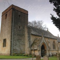
Church of St Mary
1.3 km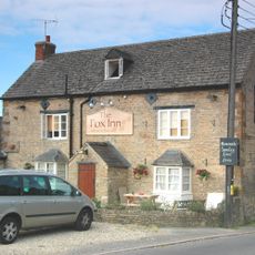
The Fox Public House
3.4 km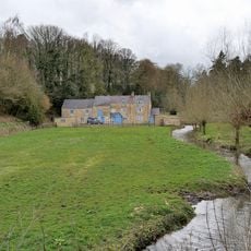
The Mill Including Mill House
4.4 km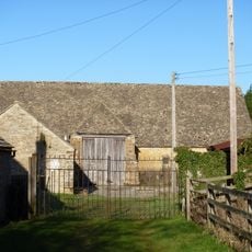
Rectorial Tithe Barn
4.3 km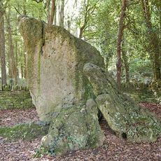
Hoar Stone portal dolmen situated in Enstone Firs
3.8 km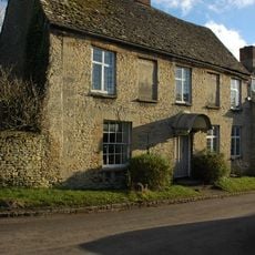
Parrotts
3.8 km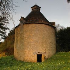
Dovecote Approximately 30 Metres North West Of Kiddington Hall
388 m
Gagingwell Cross
2.4 km
Old Turnpike Cottages#
4.3 km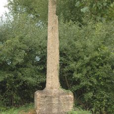
Wayside Cross At Sp 41070 22310
636 m
Brandon Farmhouse, Adjoining Farmbuilding And Cottage, And Attached Wall
3.9 km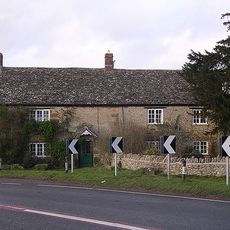
Cuckolds Holt Farmhouse
2.8 km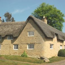
Pinfolds
4.2 km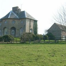
Lodge Farmhouse
3.5 km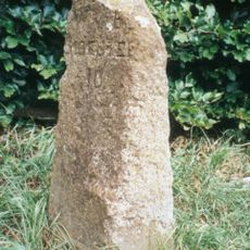
Milestone, Enstone Road; by No. 28, opp. Fox Lane and the Fox PH.
3.4 km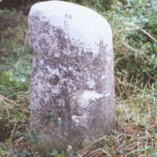
Milestone, Hill Wood
1.5 km
Milestone, turning of lane to Radford Bridge
2.2 km
Milestone, Oxford Road; between Charlbury Road jct and Old Bell Cottage
3.7 km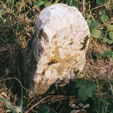
Milestone, Charlbury Road; Hoar Stone, 200m S of cross roads for Cricket Club
3.9 kmVisited this place? Tap the stars to rate it and share your experience / photos with the community! Try now! You can cancel it anytime.
Discover hidden gems everywhere you go!
From secret cafés to breathtaking viewpoints, skip the crowded tourist spots and find places that match your style. Our app makes it easy with voice search, smart filtering, route optimization, and insider tips from travelers worldwide. Download now for the complete mobile experience.

A unique approach to discovering new places❞
— Le Figaro
All the places worth exploring❞
— France Info
A tailor-made excursion in just a few clicks❞
— 20 Minutes