
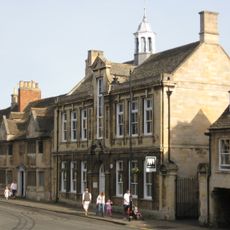
28 And 29, High Street, building in Stamford, South Kesteven, Lincolnshire, UK
Location: Stamford
Address: 28 And 29, High Street, Stamford, South Kesteven, Lincolnshire, PE9
GPS coordinates: 52.65288,-0.47719
Latest update: March 7, 2025 04:40

Stamford Museum
51 m
Church of St Michael the Greater, Stamford
59 m
Stamford Library
11 m
6, Ironmonger Street
63 m
King's Head Public House
58 m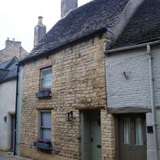
25, St George's Street
79 m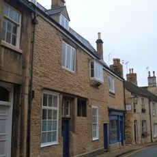
9 And 10, Maiden Lane
84 m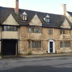
32, Broad Street
59 m
30, High Street
12 m
22 And 22A, High Street
56 m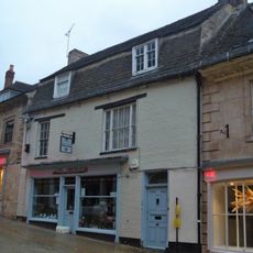
2, Ironmonger Street
80 m
5, Ironmonger Street
66 m
5 And 6, Maiden Lane
67 m
8, Ironmonger Street
80 m
2 And 3, Maiden Lane
47 m
Manor Farm Dairy
58 m
Old Technical School
63 m
25-27, High Street
24 m
1-3, St George's Street
83 m
27 And 28, St George's Street
72 m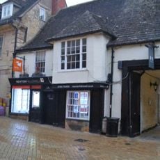
4, Ironmonger Street
75 m
53, High Street
83 m
26, St George's Street
79 m
33, Broad Street
62 m
7 And 8, Maiden Lane
73 m
34, Broad Street
73 m
31, High Street
16 m
3, Ironmonger Street
85 mVisited this place? Tap the stars to rate it and share your experience / photos with the community! Try now! You can cancel it anytime.
Discover hidden gems everywhere you go!
From secret cafés to breathtaking viewpoints, skip the crowded tourist spots and find places that match your style. Our app makes it easy with voice search, smart filtering, route optimization, and insider tips from travelers worldwide. Download now for the complete mobile experience.

A unique approach to discovering new places❞
— Le Figaro
All the places worth exploring❞
— France Info
A tailor-made excursion in just a few clicks❞
— 20 Minutes