
11, Ironmonger Street, building in Stamford, South Kesteven, Lincolnshire, UK
Location: Stamford
Address: 11, Ironmonger Street, Stamford, South Kesteven, Lincolnshire, PE9
GPS coordinates: 52.65292,-0.47853
Latest update: March 3, 2025 06:24


Church of St Michael the Greater, Stamford
68 m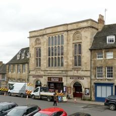
Corn Exchange, Stamford
35 m
14, High Street
61 m
6, Ironmonger Street
29 m
Stamford Town War Memorial, Lincolnshire
64 m
5-8, Broad Street
71 m
1, Ironmonger Street
31 m
4, Ironmonger Street
18 m
22 And 22A, High Street
42 m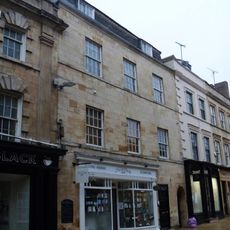
8, Ironmonger Street
30 m
9, Broad Street
69 m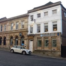
Premises Occupied By Barclays Bank (Left Hand Section)
61 m
56, High Street
75 m
25-27, High Street
67 m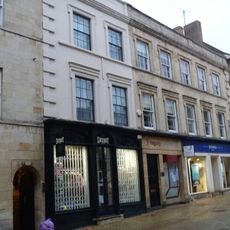
9 And 10, Ironmonger Street
25 m
53, High Street
67 m
5, Ironmonger Street
25 m
2, Ironmonger Street
18 m
18 and 19, High Street
36 m
39 And 40, Broad Street
36 m
34, Broad Street
55 m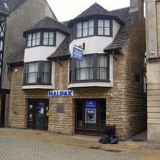
11 and 12, High Street
68 m
33, Broad Street
65 m
54 And 55, High Street
65 m
13, High Street
63 m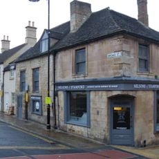
37, Broad Street
38 m
3, Ironmonger Street
23 m
15-17, High Street
50 mVisited this place? Tap the stars to rate it and share your experience / photos with the community! Try now! You can cancel it anytime.
Discover hidden gems everywhere you go!
From secret cafés to breathtaking viewpoints, skip the crowded tourist spots and find places that match your style. Our app makes it easy with voice search, smart filtering, route optimization, and insider tips from travelers worldwide. Download now for the complete mobile experience.

A unique approach to discovering new places❞
— Le Figaro
All the places worth exploring❞
— France Info
A tailor-made excursion in just a few clicks❞
— 20 Minutes