
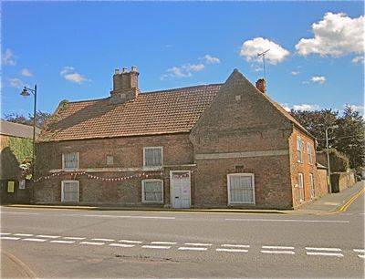
The Old King's Head, former public house in Kirton, Lincolnshire, England, UK
Location: Kirton
Inception: 1599
GPS coordinates: 52.92780,-0.05949
Latest update: March 8, 2025 07:30
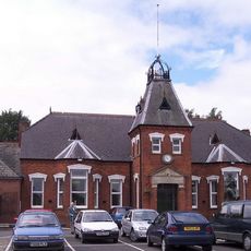
Kirton in Holland Town Hall
77 m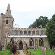
Church of St Peter and St Paul
4.8 km
Church of St Michael
2.1 km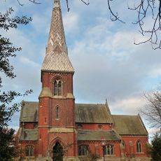
Church of All Saints
5.2 km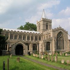
Church of St Peter and St Paul
3.5 km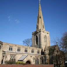
Church of St Mary
3.6 km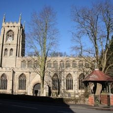
Church of St Peter and St Paul
72 m
Kirton Holme Golf Club
5.2 km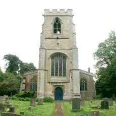
Church of St Leodegar
3.3 km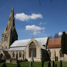
Church of St Mary
2.1 km
Church of St Thomas
4.6 km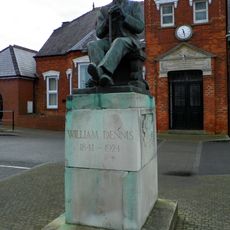
Statue of William Dennis
204 m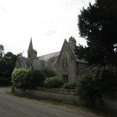
South Cottage, Village Hall And Church View Cottage And Garden Wall
3.6 km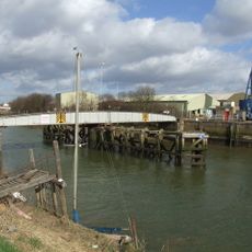
Swing Bridge
5.1 km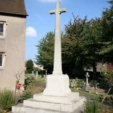
Skirbeck Quarter War Memorial
4.6 km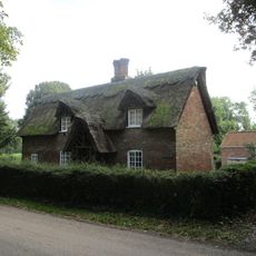
Thatched Cottage
2 km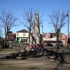
Kirton War Memorial
118 m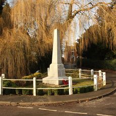
Frampton War Memorial Obelisk
1.9 km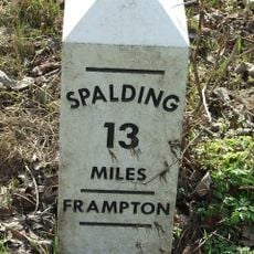
Milestone North Of West End Road Junction
1.4 km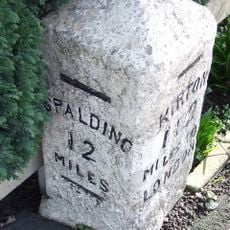
Milestone In Centre Of Village
194 m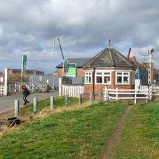
London Road Gatehouse And Signals Cabin
5.1 km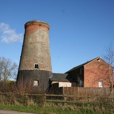
The Mill
4.2 km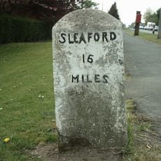
Milestone
4.6 km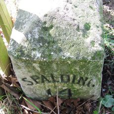
Milestone Beside Wortley's Lane
2.9 km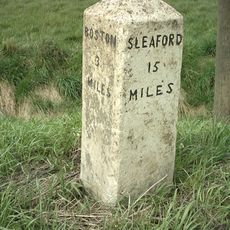
Mile Stone East Of Baker's Bridge
4.8 km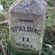
Milestone By Struggs Hill
1.8 km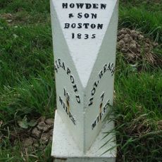
Milepost, East Of Waste Green Lane
5 km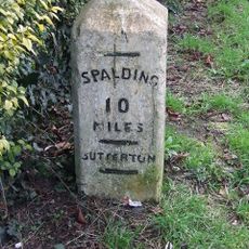
Milestone (South Of Tudor Lodge)
3.3 kmReviews
Visited this place? Tap the stars to rate it and share your experience / photos with the community! Try now! You can cancel it anytime.
Discover hidden gems everywhere you go!
From secret cafés to breathtaking viewpoints, skip the crowded tourist spots and find places that match your style. Our app makes it easy with voice search, smart filtering, route optimization, and insider tips from travelers worldwide. Download now for the complete mobile experience.

A unique approach to discovering new places❞
— Le Figaro
All the places worth exploring❞
— France Info
A tailor-made excursion in just a few clicks❞
— 20 Minutes