
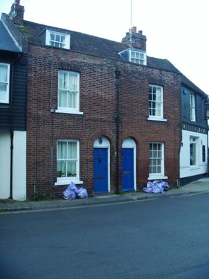
27 And 28, St Radigund Street, building in Canterbury, Kent, UK
Location: Canterbury
Address: 27 And 28, St Radigund Street, Canterbury, Kent, CT1
GPS coordinates: 51.28249,1.08059
Latest update: March 3, 2025 01:37
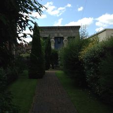
Old Synagogue
66 m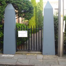
Railings And Post In Front Of St Alphege Church Hall
92 m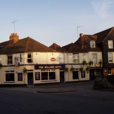
The Miller's Arms Public House
8 m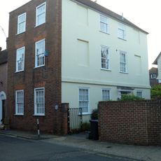
43, King Street
125 m
Black Princes Chantry
88 m
6, Mill Lane
51 m
The Little House
124 m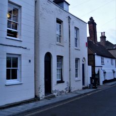
2 And 3, Mill Lane
29 m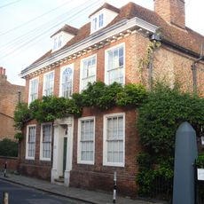
20, King Street
92 m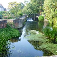
Abbot's Mill Footbridge And Sluice
65 m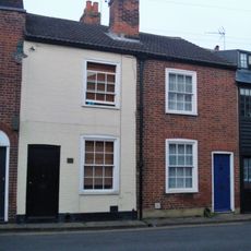
3 And 4, Duck Lane
130 m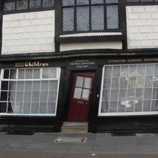
The King's School Shop
133 m
42, St Radigund Street
85 m
26 And 27, Palace Street
132 m
4 And 5, Mill Lane
41 m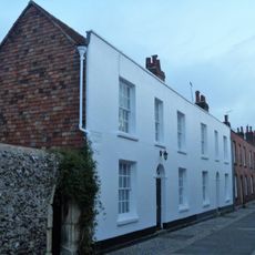
1-10, Blackfriars Street
84 m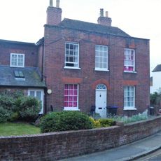
7, Mill Lane
63 m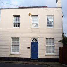
21, King Street
83 m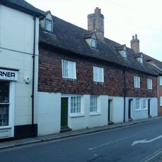
38-41, St Radigund Street
70 m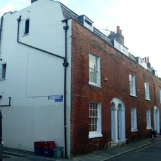
16-19, King Street
113 m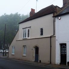
18 And 19, Pound Lane
88 m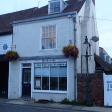
15, St Radigund Street
96 m
Orchard House, 1 Duck Lane
116 m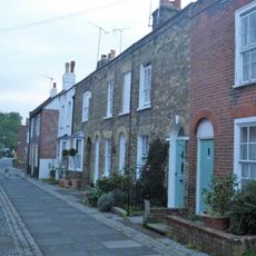
36-39, Blackfriars Street
89 m
31-35, Blackfriars Street
108 m
8-12, Mill Lane
69 m
40, Blackfriars Street
76 m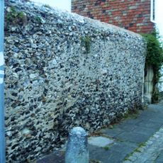
Wall on Right Side of Blackfriars Monastery
131 mVisited this place? Tap the stars to rate it and share your experience / photos with the community! Try now! You can cancel it anytime.
Discover hidden gems everywhere you go!
From secret cafés to breathtaking viewpoints, skip the crowded tourist spots and find places that match your style. Our app makes it easy with voice search, smart filtering, route optimization, and insider tips from travelers worldwide. Download now for the complete mobile experience.

A unique approach to discovering new places❞
— Le Figaro
All the places worth exploring❞
— France Info
A tailor-made excursion in just a few clicks❞
— 20 Minutes