
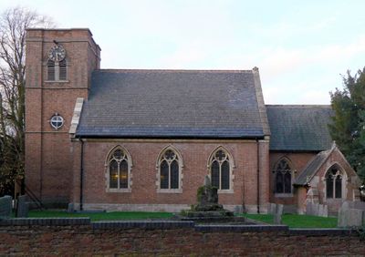
Church of St Mary, church building in Walton on the Wolds, Charnwood, Leicestershire, UK
Location: Walton on the Wolds
Website: http://barrowandwoldsgroup.com/st-marys-walton
GPS coordinates: 52.77135,-1.12404
Latest update: March 7, 2025 13:43

Prestwold Hall
2.2 km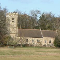
Church of St Andrew
2.3 km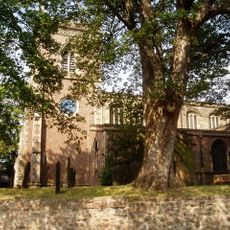
Church of the Holy Trinity
2.6 km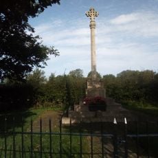
Seagrave war memorial
3.2 km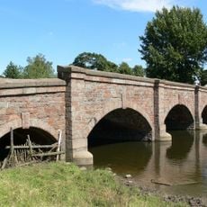
Barrow upon Soar road bridge
3 km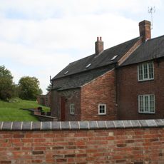
Whitehouse Farmhouse
3.1 km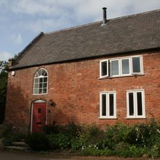
Barn Approximately 20 Metres To West Of And At Number 26 (The Croft)
3.3 km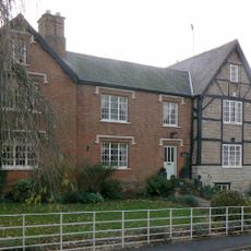
Old Manor House
173 m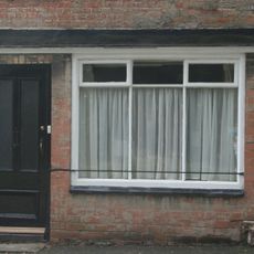
45, King Street
3.4 km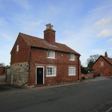
3, Wymeswold Road
3.4 km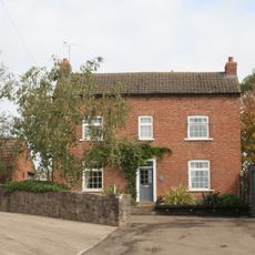
Home Farmhouse
3 km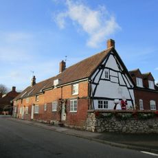
11, Wymeswold Road
3.4 km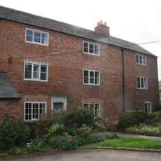
The Croft
3.4 km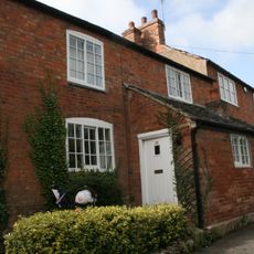
29, King Street
3.3 km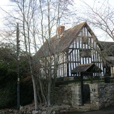
10, Loughborough Road
212 m
7, The Banks
3.2 km
Sunday School House
2.7 km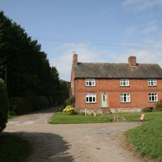
58, Green Lane
3 km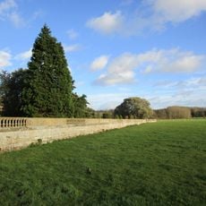
Prestwold Hall, Garden Walls
2.1 km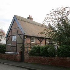
28, Wymeswold Road
3.4 km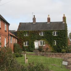
Hawley Fields Farmhouse
3 km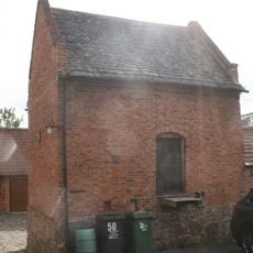
Dovecote At Number 50 (The Firs)
3.4 km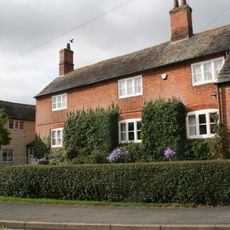
Ivy House Farmhouse
3.3 km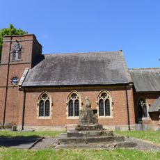
Cross Base In Church Yard, South Of Church
15 m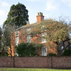
2, Loughborough Road
3.4 km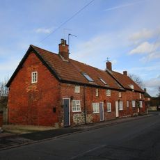
5-9, Wymeswold Road
3.4 km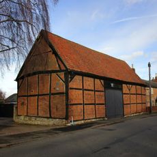
Barn To Holly Tree Farm
3.4 km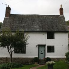
5, King Street
3.2 kmVisited this place? Tap the stars to rate it and share your experience / photos with the community! Try now! You can cancel it anytime.
Discover hidden gems everywhere you go!
From secret cafés to breathtaking viewpoints, skip the crowded tourist spots and find places that match your style. Our app makes it easy with voice search, smart filtering, route optimization, and insider tips from travelers worldwide. Download now for the complete mobile experience.

A unique approach to discovering new places❞
— Le Figaro
All the places worth exploring❞
— France Info
A tailor-made excursion in just a few clicks❞
— 20 Minutes