
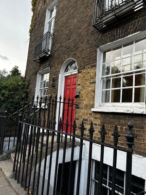
39, Harleyford Road Se11, building in Lambeth, Greater London, UK
Location: London Borough of Lambeth
Address: 39, Harleyford Road, Lambeth, Greater London, SE11
GPS coordinates: 51.48502,-0.11890
Latest update: March 5, 2025 13:04
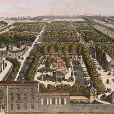
Vauxhall Gardens
274 m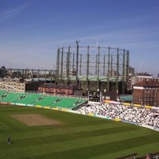
The Oval Gasholders
340 m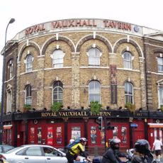
Royal Vauxhall Tavern
258 m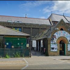
Vauxhall City Farm
254 m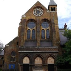
St Peter's Church
199 m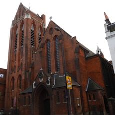
St Anne's Church
134 m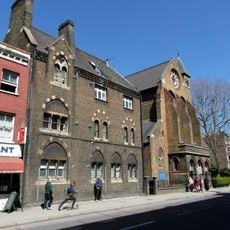
Herbert House
176 m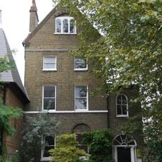
St Peter's Vicarage
197 m
St Anne's House
151 m
Calvary Church of God in Christ
389 m
St Marks' Church Of England Junior Mixed And Infants Schools
121 m
Following the Leader (Memorial to the Children Killed in the Blitz)
343 m
58 And 60, Harleyford Road Se11
60 m
43-55, Harleyford Road Se11
58 m
106 And 108, Fentiman Road Sw8
384 m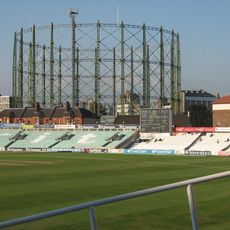
No 1 Gasholder, Kennington Lane Gasholder Station
337 m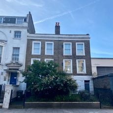
365 And 367, Kennington Lane Se11
152 m
15 And 17, Harleyford Road Se11
144 m
23, Harleyford Road Se11
126 m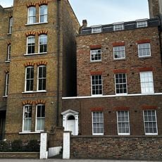
337, Kennington Lane Se11
150 m
Noel Caron Houses
375 m
25, Harleyford Road Se11
125 m
57 And 59, Harleyford Road Se11
87 m
19 And 21, Harleyford Road Se11
131 m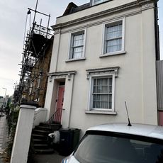
63, Harleyford Road Se11
100 m
110 And 112, Fentiman Road Sw8
378 m
Forecourt Piers And Railings To Number 63
108 m
48-56, Harleyford Road Se11
74 mVisited this place? Tap the stars to rate it and share your experience / photos with the community! Try now! You can cancel it anytime.
Discover hidden gems everywhere you go!
From secret cafés to breathtaking viewpoints, skip the crowded tourist spots and find places that match your style. Our app makes it easy with voice search, smart filtering, route optimization, and insider tips from travelers worldwide. Download now for the complete mobile experience.

A unique approach to discovering new places❞
— Le Figaro
All the places worth exploring❞
— France Info
A tailor-made excursion in just a few clicks❞
— 20 Minutes