
Buckhurst Bridge, bridge in Frittenden, Tunbridge Wells, Kent, UK
Location: Frittenden
Location: Biddenden
GPS coordinates: 51.13367,0.62215
Latest update: September 23, 2025 16:56
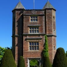
Sissinghurst Castle Garden
3.5 km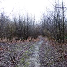
Sissinghurst Park Wood
3.8 km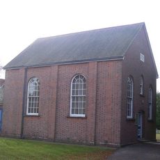
Ebenezer Chapel
1.5 km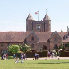
Sissinghurst Castle
3.5 km
Church of St Mary
2.3 km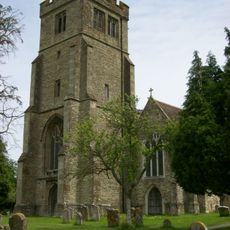
Parish Church of All Saints
2.4 km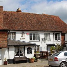
The Red Lion Inn
2.5 km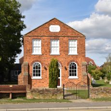
The Baptist Chapel
3.8 km
Tower and walls 30 yards east of the West Range at Sissinghurst Castle
3.5 km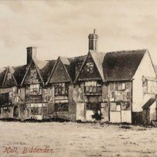
Old Cloth Workers Hall The Old Cloth Hall
2.5 km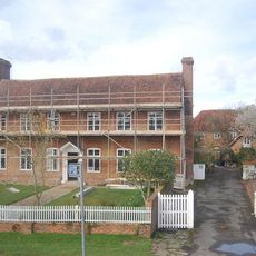
Hendon Hall
2.6 km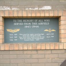
RAF Lashenden Memorial
2.8 km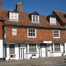
28 High Street
2.5 km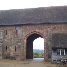
Barn 60 Yards North Of The West Range Of Sissinghurst Castle
3.4 km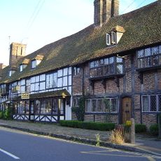
3-17 High Street
2.5 km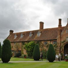
West Range at Sissinghurst Castle
3.5 km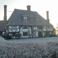
Vane Court
2.3 km
The Manse
3.8 km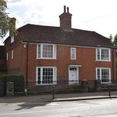
Manor Farmhouse
3.8 km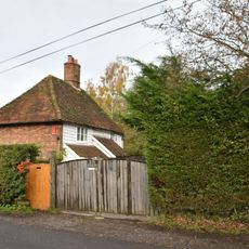
Little East End Farmhouse
3.7 km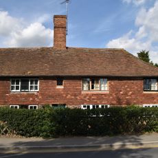
69, High Street
3.8 km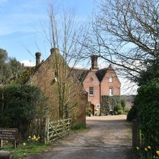
Sissinghurst Castle Farmhouse
3.6 km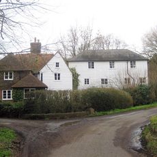
Maplehurst Mill
3.5 km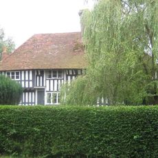
West Hoy Farmhouse
3.2 km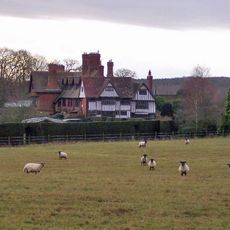
Birchley East Birchley Farmhouse Birchley West
3.4 km
Frittenden War Memorial
2.1 km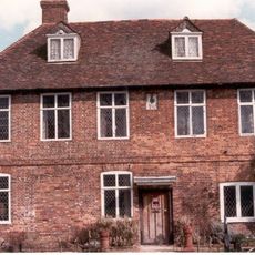
Biddenden Place
2.7 km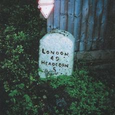
Milestone, Benenden Road, by "Mile Post Cottage"
3.7 kmReviews
Visited this place? Tap the stars to rate it and share your experience / photos with the community! Try now! You can cancel it anytime.
Discover hidden gems everywhere you go!
From secret cafés to breathtaking viewpoints, skip the crowded tourist spots and find places that match your style. Our app makes it easy with voice search, smart filtering, route optimization, and insider tips from travelers worldwide. Download now for the complete mobile experience.

A unique approach to discovering new places❞
— Le Figaro
All the places worth exploring❞
— France Info
A tailor-made excursion in just a few clicks❞
— 20 Minutes