
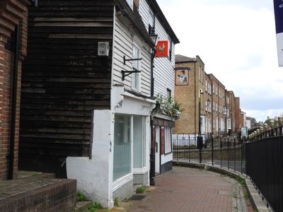
296 And 298, High Street, building in Medway, Kent, UK
Location: Medway
Address: 296 And 298, High Street, Medway, Kent, ME1
GPS coordinates: 51.38395,0.51155
Latest update: April 10, 2025 15:38
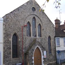
Star Hill Elim Pentecostal Church
269 m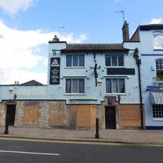
The North Foreland Public House
196 m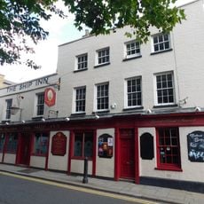
The Ship Inn
272 m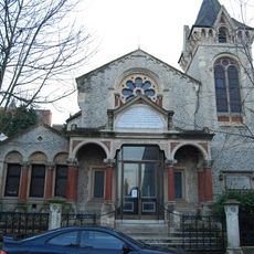
Chatham Memorial Synagogue
258 m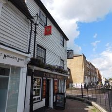
The Nag's Head
18 m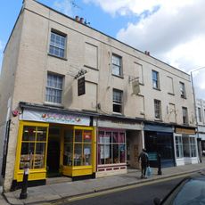
329, 331, 333 And 335, High Street
221 m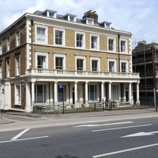
The Dickens Hotel
144 m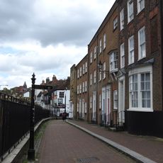
Anchor House
75 m
Linden House
70 m
St Catherine's Hospital With Wall And Railings To Front
238 m
254, St Margaret's Banks
150 m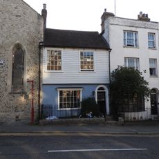
34, Star Hill
269 m
Former County Court
252 m
17-39, Star Hill
220 m
The Good Companions Club Including Wall To Left Part Of Frontage
181 m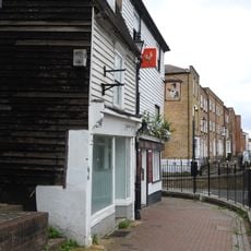
294, St Margaret's Banks
12 m
286, St Margaret's Banks
42 m
29,30 And 31, New Road
120 m
310 And 312, St Margaret's Banks
41 m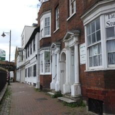
304 And 306, High Street
22 m
18,19,20,21,22 And 23, New Road
109 m
252, High Street
163 m
24,25 And 26, New Road
111 m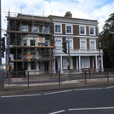
9,10 And 11, New Road
131 m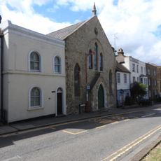
2, Delce Road
265 m
250, St Margaret's Banks
174 m
13,14,15 And 16, New Road
110 m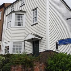
246, High Street
191 mVisited this place? Tap the stars to rate it and share your experience / photos with the community! Try now! You can cancel it anytime.
Discover hidden gems everywhere you go!
From secret cafés to breathtaking viewpoints, skip the crowded tourist spots and find places that match your style. Our app makes it easy with voice search, smart filtering, route optimization, and insider tips from travelers worldwide. Download now for the complete mobile experience.

A unique approach to discovering new places❞
— Le Figaro
All the places worth exploring❞
— France Info
A tailor-made excursion in just a few clicks❞
— 20 Minutes