
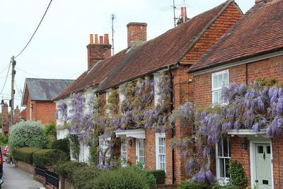
8, The Borough, building in Crondall, Hart, Hampshire, UK
Location: Crondall
Address: 8, The Borough, Crondall, Hart, Hampshire, GU10
GPS coordinates: 51.23351,-0.86250
Latest update: March 21, 2025 09:17
Caesar's Camp, Rushmoor and Waverley
4.2 km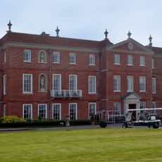
Dogmersfield Park
3.6 km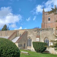
Church of All Saints
394 m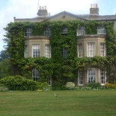
Northbrook
4.3 km
Christ Church
3.2 km
Church of St Mary
4.3 km
Malthouse Bridge
3.5 km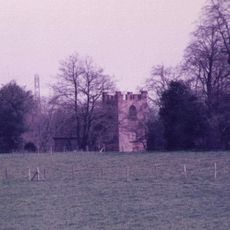
Old Church of All Saints
3.3 km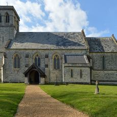
Church of All Saints
4 km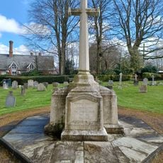
Crondall War Memorial
365 m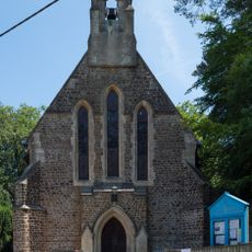
St Mary's Church
2.3 km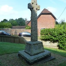
Ewshot WW1 Cross
2.3 km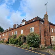
38-48, Beavers Road
4.3 km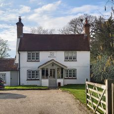
The Old Horns
2.7 km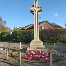
Church Crookham War Memorial
3.2 km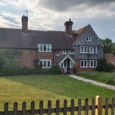
Grove Farmhouse
3.8 km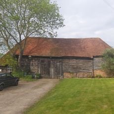
Barn To South Of Stillers Farmhouse
2.5 km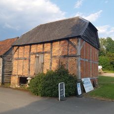
Granary At Grove Farm
3.8 km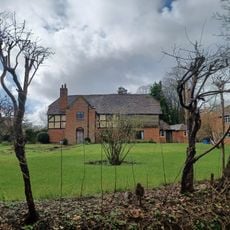
Deans Knowe
3 km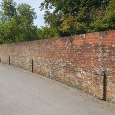
Boundary Walls To The Kitchen Garden, And Garden To The East And North East Of The Grange And Wall To The South East Of Grange Corner
4.3 km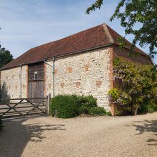
Barn To The North West Of The Grange
4.3 km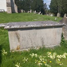
Table Tomb 9 Metres South Of St Mary's Church (Chancel)
4.3 km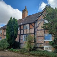
Park Corner Farmhouse
2.5 km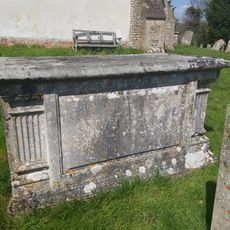
Table Tomb 5 Metres South Of St Mary's Church (Chancel)
4.3 km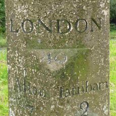
Milestone On Island Before Junction Of Alton Road With Chamber Lane
4.3 km
Milestone, Dares Farm; W of junction with Dora's Lane
1.5 km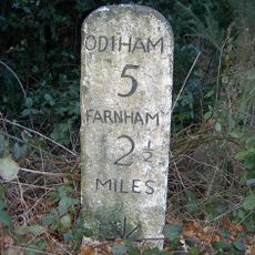
Milestone, Warren Corner
2.1 km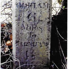
Milestone, Hog Hatch, S of jct with A3016
3.6 kmReviews
Visited this place? Tap the stars to rate it and share your experience / photos with the community! Try now! You can cancel it anytime.
Discover hidden gems everywhere you go!
From secret cafés to breathtaking viewpoints, skip the crowded tourist spots and find places that match your style. Our app makes it easy with voice search, smart filtering, route optimization, and insider tips from travelers worldwide. Download now for the complete mobile experience.

A unique approach to discovering new places❞
— Le Figaro
All the places worth exploring❞
— France Info
A tailor-made excursion in just a few clicks❞
— 20 Minutes