
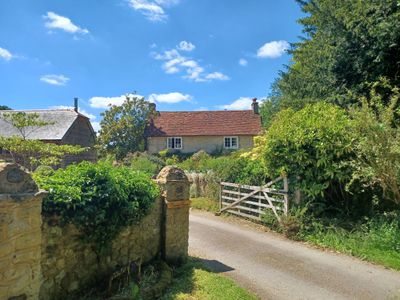
Covers Farmhouse, farmhouse in Bramshott and Liphook, East Hampshire, Hampshire, UK
Location: Bramshott and Liphook
GPS coordinates: 51.08935,-0.80086
Latest update: March 9, 2025 04:44

Headley Grange
3.1 km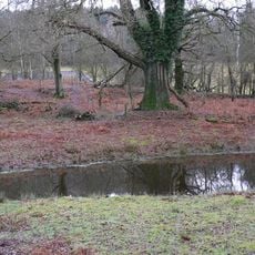
Lynchmere Commons
3 km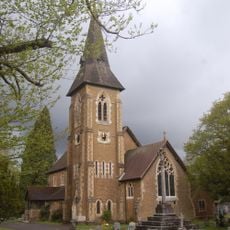
Church of St Luke
4 km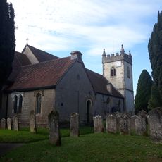
Church of All Saints
3.9 km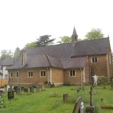
Church of St Joseph
3.4 km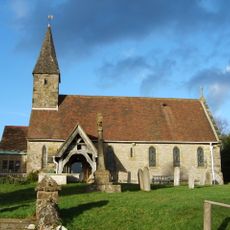
The Parish Church of St Peter
3.5 km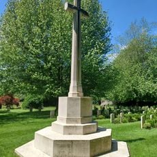
War Memorial 120 Metres South West of Church
118 m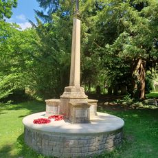
Bramshott War Memorial
145 m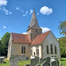
Church of St Mary
187 m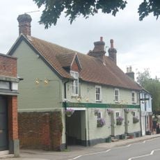
The Green Dragon Public House
1.3 km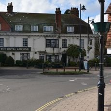
Royal Anchor Hotel
1.4 km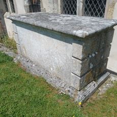
Table Tomb 1 Metre South Of Chancel
203 m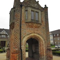
Tudor Gatehouse At Bramshott Place (king George's Hospital)
812 m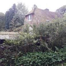
Rat's Castle
4 km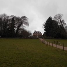
Bramshott Vale
368 m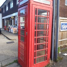
K6 Telephone Kiosk To North Of The Holly Bush Public House
3.8 km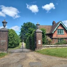
Gateway 400 Metres South Of Downlands
1.1 km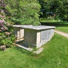
Table Tomb 11 Metres North Of Nave
163 m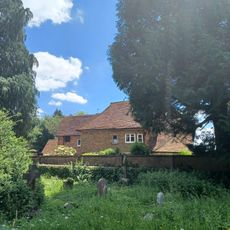
Bramshott Manor
158 m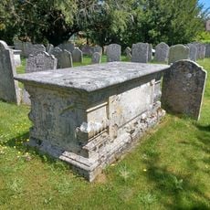
Table Tomb 7 Metres South Of Chancel
212 m
Headley War Memorial
3.9 km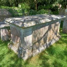
Table Tomb 4 Metres East Of Chancel
214 m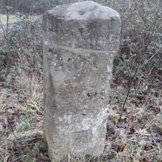
Milestone On South Side Of The A3 Portsmouth Road, 3/4 Mile From The Hampshire/Surrey Boundary
1.8 km
Bramshott Churchyard
199 m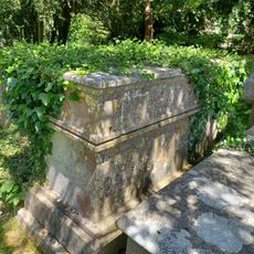
Table Tomb 4 Metres East Of Chancel
214 m
Milestone On West Side Of The B2070 London Road, Immediately South Of Entrance To Bohunt Manor
2 km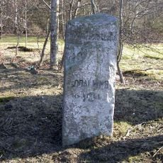
Milestone, Bramshott Common
1.8 km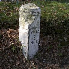
Milestone, Newtown, by entrance to Bohurst Manor
1.9 kmVisited this place? Tap the stars to rate it and share your experience / photos with the community! Try now! You can cancel it anytime.
Discover hidden gems everywhere you go!
From secret cafés to breathtaking viewpoints, skip the crowded tourist spots and find places that match your style. Our app makes it easy with voice search, smart filtering, route optimization, and insider tips from travelers worldwide. Download now for the complete mobile experience.

A unique approach to discovering new places❞
— Le Figaro
All the places worth exploring❞
— France Info
A tailor-made excursion in just a few clicks❞
— 20 Minutes