
Cartshed, North-East Of Stable At Priory Farm, carriage house in Mapledurwell and Up Nately, Basingstoke and Deane, Hampshire, UK
Location: Mapledurwell and Up Nately
GPS coordinates: 51.26840,-1.01415
Latest update: March 10, 2025 16:32
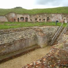
Basing House
2.7 km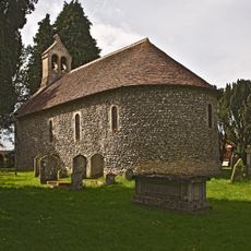
St Swithun's church, Nately Scures
905 m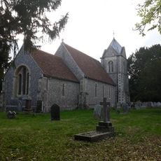
Church of St. Nicholas
2 km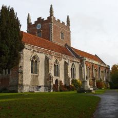
Church of St Mary, Old Basing
2.3 km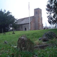
Church of St. Stephen
1.3 km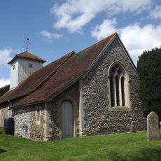
Church of St. Mary
1.6 km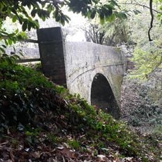
Eastrop Bridge
1.8 km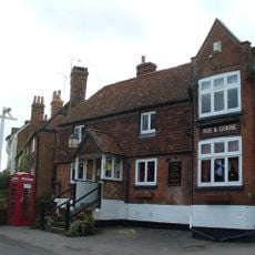
Fox And Goose Public House
3.2 km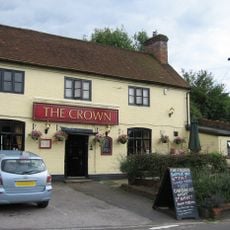
The Crown Public House
2.6 km
The Bolton Arms Public House
2.3 km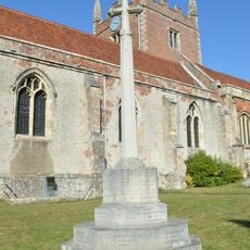
Old Basing War Memorial
2.3 km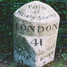
Milestone 41
2 km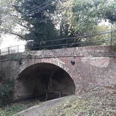
Slades Bridge
1.4 km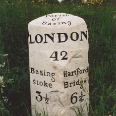
Milestone 42
630 m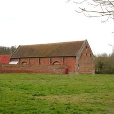
Tithe Barn
2.8 km
Shenton
3.2 km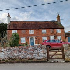
Royal Oak House
3.2 km
Tithe Barn
2.3 km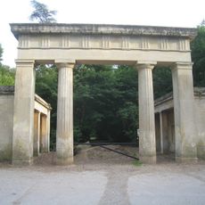
Lodges And Gateway To Hatchwood (New) Park*
2.6 km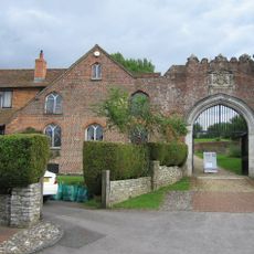
Wall And House (No.6 The Street) Attached To The Gateway On Its East Side*
2.6 km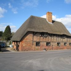
9,11, The Street
2.6 km
Malthouse
2.5 km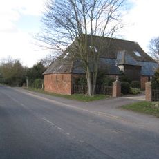
Parker's Piece Barn
2.2 km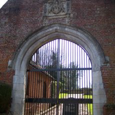
Gateway
2.6 km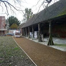
Cartshed And Outbuildings
2.8 km
Grange Farmhouse
2.8 km
Dovecote
2.8 km
Stable And Loft
2.7 kmReviews
Visited this place? Tap the stars to rate it and share your experience / photos with the community! Try now! You can cancel it anytime.
Discover hidden gems everywhere you go!
From secret cafés to breathtaking viewpoints, skip the crowded tourist spots and find places that match your style. Our app makes it easy with voice search, smart filtering, route optimization, and insider tips from travelers worldwide. Download now for the complete mobile experience.

A unique approach to discovering new places❞
— Le Figaro
All the places worth exploring❞
— France Info
A tailor-made excursion in just a few clicks❞
— 20 Minutes