
Kerswell Farmhouse, thatched farmhouse in Exminster, Teignbridge, Devon, UK
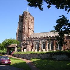
Church of St Andrew, Kenn
1.3 km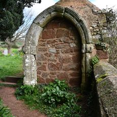
Medieval Masonry Built Into Wall And Shed North East Of The Church Of St Andrew
1.3 km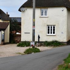
Pump Immediately South East Of Church House
1.4 km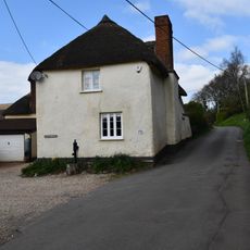
Church House
1.4 km
Lantern Cottage
1.4 km
Cottage Adjoining Bay Bush At The North West
1.3 km
Blackalls
931 m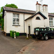
Village School And Pumphouse
1.3 km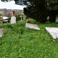
Group Of 3 Elliott Chest Tombs About 10 Metres North Of The Centre Of North Aisle Of The Church Of St Andrew
1.3 km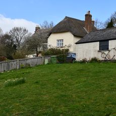
Chappel Court
1.3 km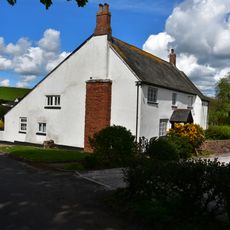
Towsington Barton
1.1 km
Mary Tucker Chest Tomb About 3 Metres South Of The Tower Of The Church Of The Church Of St Andrew
1.4 km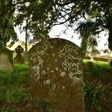
Sarel Headstone About 7 Metres South East Of Chancel Of The Church Of St Andrew
1.3 km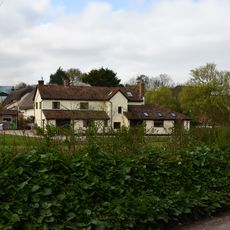
Damerosehay Cottage
809 m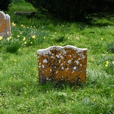
Amy Gibson Headstone About 15 Metres East Of Chancel Of The Church Of St Andrew
1.3 km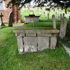
Simon Tanner Chest Tomb About 9 Metres South East Of Chancel Of Church Of St Andrew
1.4 km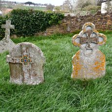
Pair Of Mayne Headstones About 24 Metres North Of The West Tower Of The Church Of St Andrew
1.3 km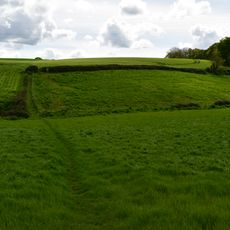
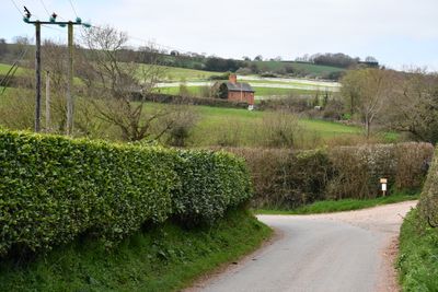
Earthwork enclosure S of Blackall's Copse
506 m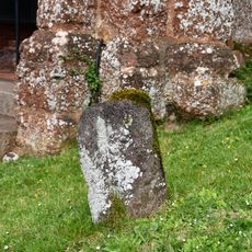
Volcanic Trap Headstone About 1 Metre South East Of The Porch Of Church Of St Andrew
1.4 km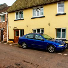
4, Pye Corner
1.4 km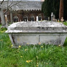
Ley Family Chest Tomb About 37 Metres North Of The Stair Turret Of The Church Of St Andrew
1.3 km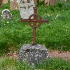
Elizabeth Dewdney Headstone About 19 Metres North Of The Vestry Of The Church Of St Andrew
1.3 km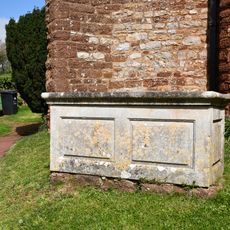
Group Of 3 Chest Tombs About 6 Metres South Of The Centre Of Aisle Of The Church Of St Andrew
1.4 km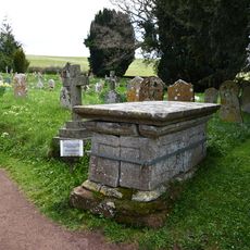
Parr Chest Tomb About 1.5 Metres South East Of Chancel Of The Church Of St Andrew
1.3 km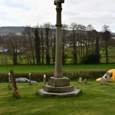
Churchyard Cross About 12 Metres South Of Church Of St Andrew
1.4 km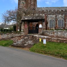
Lychgate to Church of St Andrews and Flight of Steps to South
1.4 km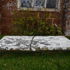
Chest Tomb Immediately South Of West End Of South Aisle Of Church Of St Andrew
1.3 km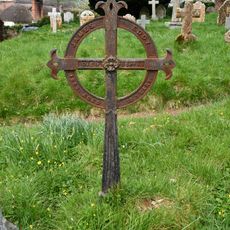
James Eddy Grave Marker About 10 Metres North East Of The Vestry Of The Church Of St Andrew
1.3 kmReviews
Visited this place? Tap the stars to rate it and share your experience / photos with the community! Try now! You can cancel it anytime.
Discover hidden gems everywhere you go!
From secret cafés to breathtaking viewpoints, skip the crowded tourist spots and find places that match your style. Our app makes it easy with voice search, smart filtering, route optimization, and insider tips from travelers worldwide. Download now for the complete mobile experience.

A unique approach to discovering new places❞
— Le Figaro
All the places worth exploring❞
— France Info
A tailor-made excursion in just a few clicks❞
— 20 Minutes