
26 And 28, Fore Street, building in Ide, Teignbridge, Devon, UK
Location: Ide
Address: 26 And 28, Fore Street, Ide, Teignbridge, Devon, EX2
GPS coordinates: 50.70474,-3.55841
Latest update: March 2, 2025 20:25

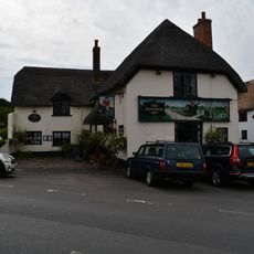
The Huntsman Inn
48 m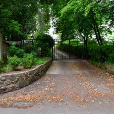
Ide House
329 m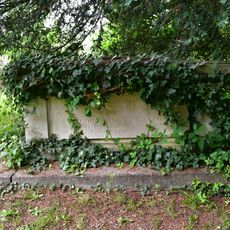
Browning Chest Tomb About 8M East Of The Chancel Of The Church Of St. Ida
381 m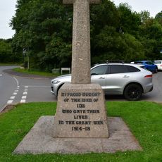
Ide War Memorial
103 m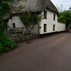
Underwood Cottage
388 m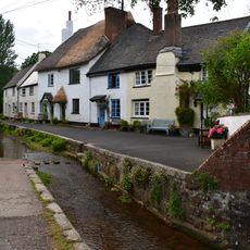
7 And 8, The College
63 m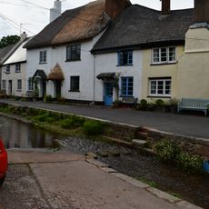
5 And 6, The College
53 m
Holmbush Cottage
298 m
2, 3 And 4, The College
39 m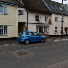
16, Fore Street
22 m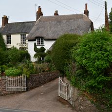
9, High Street
118 m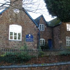
Ide School Including Iron Railings And Gates
163 m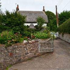
Poplar Cottage
128 m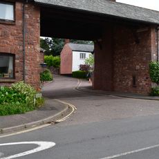
Drake's Farm And St Ida's
21 m
16 And 18, High Street
88 m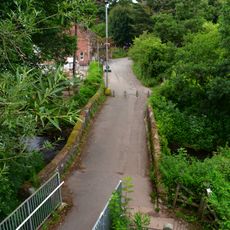
Ide Bridge
207 m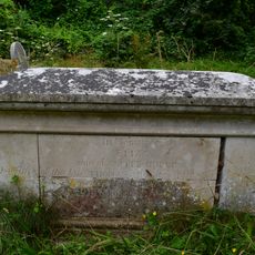
Dudley Chest Tomb About 28M South East Of South East Corner Of Nave Of Church Of St. Ida
375 m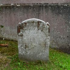
Coplestone Headstone About 1.5M North East Of The Chancel Of The Church Of St. Ida
380 m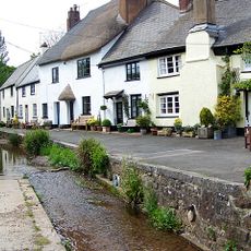
Retaining Wall To Fordland Brook And Bridge
41 m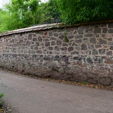
Garden Wall Of Underwood Cottage
374 m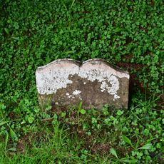
Cooke Headstone About 7M East Of The Chancel Of St. Ida
378 m
Pole House
252 m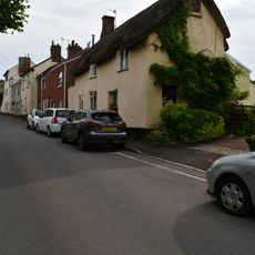
56 And 58, High Street
300 m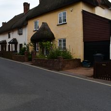
12, High Street
74 m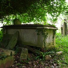
Fryer Chest Tomb About 18M South West Of East Churchyard Gate
379 m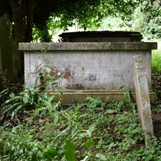
Toll Chest Tomb About 14M South West Of East Gate To Churchyard
366 m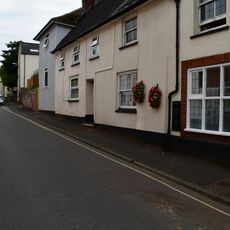
44, High Street
217 m
Canns Farmhouse
368 mReviews
Visited this place? Tap the stars to rate it and share your experience / photos with the community! Try now! You can cancel it anytime.
Discover hidden gems everywhere you go!
From secret cafés to breathtaking viewpoints, skip the crowded tourist spots and find places that match your style. Our app makes it easy with voice search, smart filtering, route optimization, and insider tips from travelers worldwide. Download now for the complete mobile experience.

A unique approach to discovering new places❞
— Le Figaro
All the places worth exploring❞
— France Info
A tailor-made excursion in just a few clicks❞
— 20 Minutes