
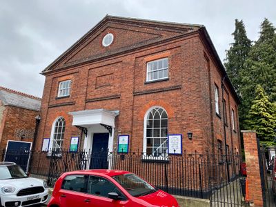
Congregational Chapel, chapel in St. Albans, Hertfordshire, UK
Location: St Albans
Address: CONGREGATIONAL CHAPEL, SPICER STREET
GPS coordinates: 51.75230,-0.34245
Latest update: March 2, 2025 21:06
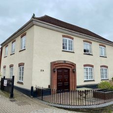
Former Unitarian Chapel
39 m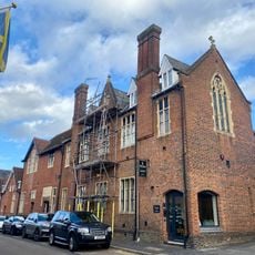
The Abbey National Boys' School
48 m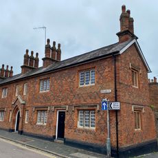
Ramshaws Almshouses
36 m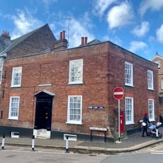
Tankerfield House
75 m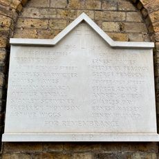
War Memorial Plaque Attached to 35 Lower Dagnall Street
98 m
25, Verulam Road
93 m
13 And 15, Lower Dagnall Street
35 m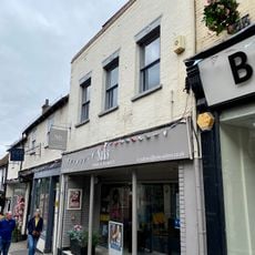
24, George Street
80 m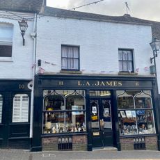
11, George Street
95 m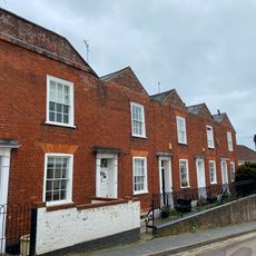
3-11, Lower Dagnall Street
68 m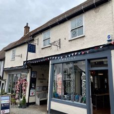
23, George Street
71 m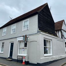
27 And 27A, College Street
49 m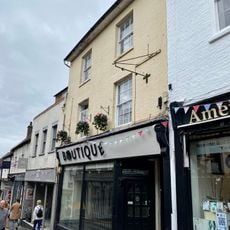
25, George Street
78 m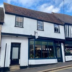
20A And 21, George Street
55 m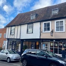
18-20, George Street
68 m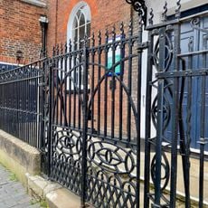
Gates And Railings To Congreational Church
9 m
21-25, College Street
66 m
3-5, Romeland Hill
91 m
18, Lower Dagnall Street
49 m
8, Lower Dagnall Street
54 m
12, George Street
92 m
16, George Street
92 m
22, George Street
72 m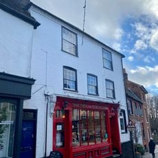
The Brown Owl Restaurant
91 m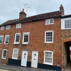
4 And 6, Lower Dagnall Street
58 m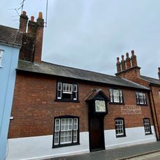
19, Spicer Street
26 m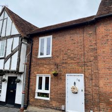
16, Lower Dagnall Street
48 m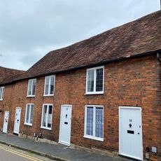
10-14, Lower Dagnall Street
52 mReviews
Visited this place? Tap the stars to rate it and share your experience / photos with the community! Try now! You can cancel it anytime.
Discover hidden gems everywhere you go!
From secret cafés to breathtaking viewpoints, skip the crowded tourist spots and find places that match your style. Our app makes it easy with voice search, smart filtering, route optimization, and insider tips from travelers worldwide. Download now for the complete mobile experience.

A unique approach to discovering new places❞
— Le Figaro
All the places worth exploring❞
— France Info
A tailor-made excursion in just a few clicks❞
— 20 Minutes