
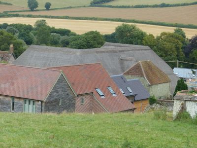
Barn 20m south of Church Farmhouse, Grade II listed barn in Iwerne Courtney or Shroton, North Dorset, Dorset, UK
Location: Iwerne Courtney or Shroton
GPS coordinates: 50.91168,-2.20095
Latest update: March 9, 2025 09:00
Hambledon Hill
1.5 km
Hod Hill
1.8 km
Stepleton House
1.2 km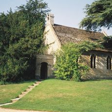
Church of St Michael and All Angels
1.9 km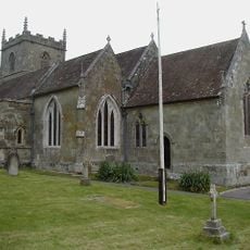
Church of St Mary
68 m
Sunnyside and attached shop
2 km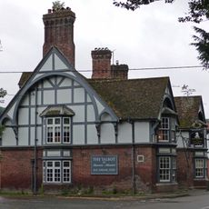
The Talbot at Iwerne Minster
1.9 km
Sunnyside Cottage
1.9 km
Abingdon Memorial Hall
2 km
The Post Office
135 m
Hobnail Cottage
323 m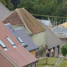
Dovecote and attached open shelter building 60m south-west Of Church Farmhouse
27 m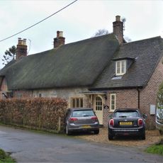
Pair of cottages approximately 5 m east of Sunnyside
2 km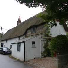
Dwell Deep and Dip Well
2 km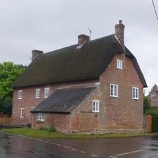
23 and 25 The Cross
412 m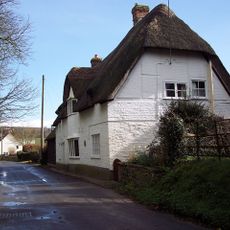
Thatched Cottage
474 m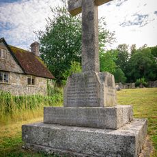
Shroton and Stepleton War Memorial
87 m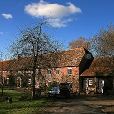
Oyles Mill and Mill House
1.2 km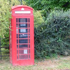
K6 Telephone Kiosk
2 km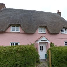
Larks Rise
882 m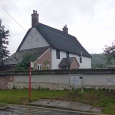
Hellum Farmhouse
388 m
Littleport
238 m
Church Farmhouse
69 m
Hod Hill camp and Lydsbury Rings
1.8 km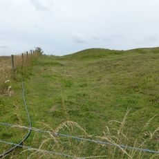
Causewayed camp on Hambledon Hill
1.1 km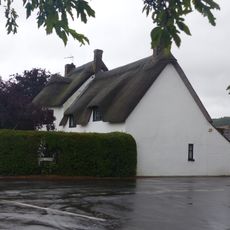
Fourways
436 m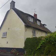
Little Grange
355 m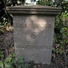
Milepost, S of village, 50m S of 30mph signs
1.4 kmVisited this place? Tap the stars to rate it and share your experience / photos with the community! Try now! You can cancel it anytime.
Discover hidden gems everywhere you go!
From secret cafés to breathtaking viewpoints, skip the crowded tourist spots and find places that match your style. Our app makes it easy with voice search, smart filtering, route optimization, and insider tips from travelers worldwide. Download now for the complete mobile experience.

A unique approach to discovering new places❞
— Le Figaro
All the places worth exploring❞
— France Info
A tailor-made excursion in just a few clicks❞
— 20 Minutes