
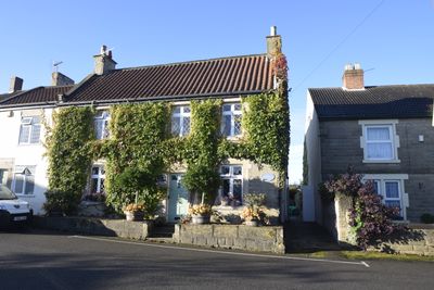
39, High Street, building in Old Bolsover, Bolsover, Derbyshire, UK
Location: Old Bolsover
Address: 39, High Street, Old Bolsover, Bolsover, Derbyshire, S44
GPS coordinates: 53.22836,-1.29317
Latest update: March 3, 2025 04:54
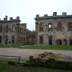
Sutton Scarsdale Hall
3.4 km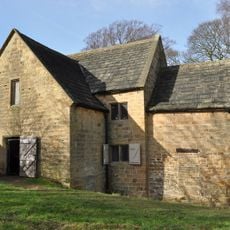
Stainsby Mill
5.4 km
Church of St John the Baptist, Ault Hucknall
5.2 km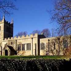
St Leonard's Church, Scarcliffe
2.8 km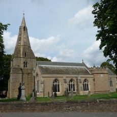
Church of St Mary and St Lawrence, Bolsover
174 m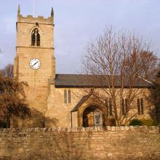
Church of St John the Baptist
5.5 km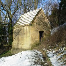
Bolsover Cundy House
561 m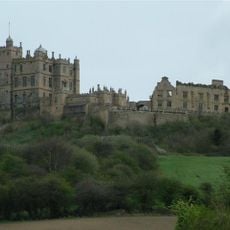
Bolsover Castle
326 m
Church of the Holy Cross
4.7 km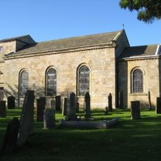
Church of St Peter
4.3 km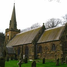
Church of All Saints
4.1 km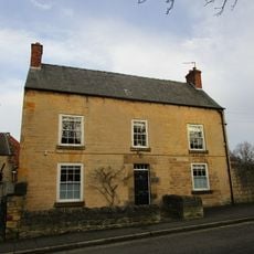
2-4, Church Street
122 m
St. Mary's Church, Sutton-cum-Duckmanton
3.4 km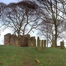
Ruins of Heath Old Church
3.9 km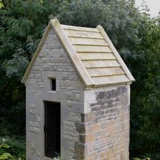
Former Presbyterian Chapel
100 m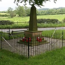
Ault Hucknall War Memorial
5.3 km
Chest tomb 10 metres south west of Church of St John the Baptist
5.2 km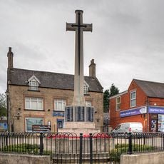
Bolsover War Memorial
115 m
Hall Farmhouse
5.5 km
The Old Hall
4.8 km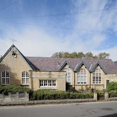
St Mary's House The School House
186 m
Conduit House to South East of St Bernadette's Church
140 m
Numbers 7-21 Including The Attached And The Associated Back Yard Walls
803 m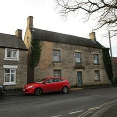
49, High Street
40 m
31, Market Place
95 m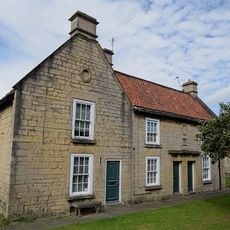
15-19, Cotton Street
82 m
Clowne Cross
5.4 km
Pear Tree Farmhouse
5.4 kmVisited this place? Tap the stars to rate it and share your experience / photos with the community! Try now! You can cancel it anytime.
Discover hidden gems everywhere you go!
From secret cafés to breathtaking viewpoints, skip the crowded tourist spots and find places that match your style. Our app makes it easy with voice search, smart filtering, route optimization, and insider tips from travelers worldwide. Download now for the complete mobile experience.

A unique approach to discovering new places❞
— Le Figaro
All the places worth exploring❞
— France Info
A tailor-made excursion in just a few clicks❞
— 20 Minutes