
Heatherlands, building in Barningham, County Durham, UK
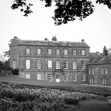
Barningham Park
324 m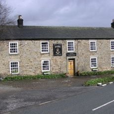
Milbank Arms
282 m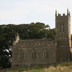
Church of St Mary
2.3 km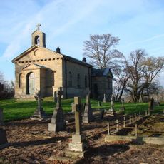
Church of St Mary
3.7 km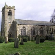
Church of St. Michael
262 m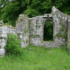
Ruins of Old Church of St Mary
2 km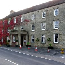
The Morritt Arms Hotel
3 km
Monument On Adam Hill, South East Of Barningham Park
591 m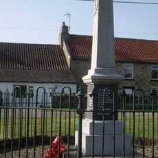
Newsham War Memorial, Richmondshire
2.4 km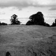
Greta Bridge Roman fort, vicus and section of Roman road
2.9 km
Carved rock and Romano-British settlement known as Greystone, 250m south of Moorcock Farm, Barningham Moor
1.7 km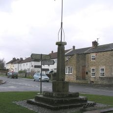
Market Cross And Stocks
2.3 km
Cairnfield and associated remains, 250m south east of Bragg House, Barningham Moor
1 km
Carved rock and cairn in Rowley Intake, 410m south east of Cowclose House, Barningham Moor
1.9 km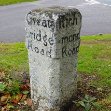
Guide Post Opposite Smallways Inn
3 km
Prehistoric carved rocks and associated remains including cairns and a field system 800m south of Haythwaite, Barningham Moor
3.2 km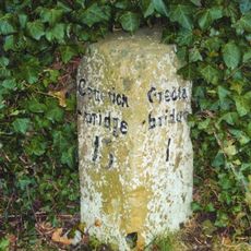
Milestone 30 Metres South East Of Thorpe Grange Farmhouse
2.6 km
Cairn, 650m SSE of Bragg House, Barningham Moor
1.5 km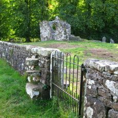
Churchyard Wall Around Old Church Of St Mary
2 km
Carved rock 380m ENE of Bragg House, Barningham Moor
896 m
Cairn, 545m ESE of Bragg House, Barningham Moor
913 m
Greta Bridge
2.9 km
A carved rock within a large enclosure, 800m north east of Badger Way Stoop, Barningham Moor
2.4 km
Cairn, 625m SSE of Bragg House, Barningham Moor
1.5 km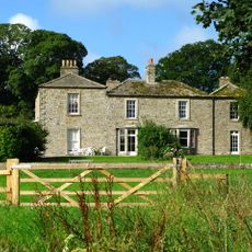
Brignall Grange
2.2 km
Carved rock north of Washbeck Green, 570m south of Haythwaite, Barningham Moor
3 km
Cairnfield on a small knoll at Badger Way Stoop, Barningham Moor
3.2 km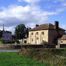
Thorpe Farmhouse and adjacent outbuildings
2.6 kmReviews
Visited this place? Tap the stars to rate it and share your experience / photos with the community! Try now! You can cancel it anytime.
Discover hidden gems everywhere you go!
From secret cafés to breathtaking viewpoints, skip the crowded tourist spots and find places that match your style. Our app makes it easy with voice search, smart filtering, route optimization, and insider tips from travelers worldwide. Download now for the complete mobile experience.

A unique approach to discovering new places❞
— Le Figaro
All the places worth exploring❞
— France Info
A tailor-made excursion in just a few clicks❞
— 20 Minutes