
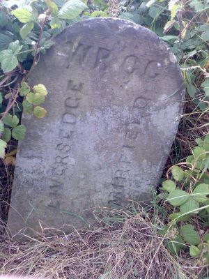
Boundary Stone Opposite Number 272, boundary marker in Mirfield, Kirklees, West Yorkshire, UK
Location: Mirfield
Part of: political border
GPS coordinates: 53.69644,-1.69904
Latest update: March 7, 2025 07:13
Community of the Resurrection
1.8 km
Kirklees Priory
2.5 km
Ponderosa Zoo
1.9 km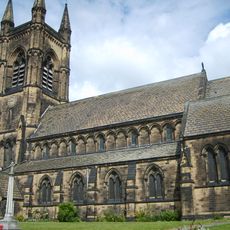
Parish Church of St Mary, Mirfield
2.2 km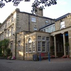
Healds Hall
1.9 km
Old Town Hall, Liversedge
1.6 km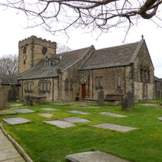
Church of St Peter, Hartshead
2.3 km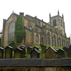
Christ Church
1.7 km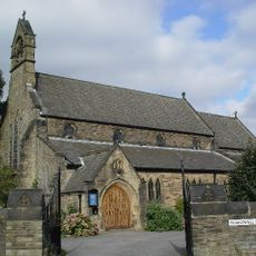
Church of St Barnabas
2.5 km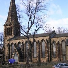
Church of St James
2.2 km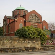
Holy Spirit Roman Catholic Church
2.3 km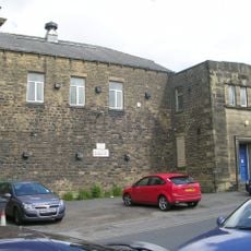
Masonic Hall And Gates, Gate Piers And Boundary Wall To Area
2 km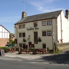
Albion Inn
1.9 km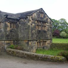
Kirklees Priory Gatehouse
2.5 km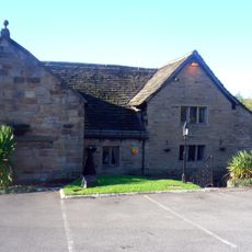
Old Hall Public House
2.2 km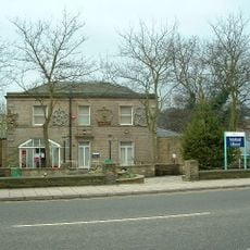
Mirfield Library
2.5 km
Heckmondwike Library
2 km
Mirfield war memorial
2.4 km
Double Aisled Barn To North West Of Kirklees Priory Gatehouse
2.5 km
Castle Hall Hill motte and bailey castle
2.1 km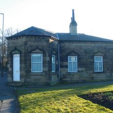
Toll House
1 km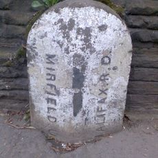
Boundary Stone Opposite Three Nuns Public House
2.2 km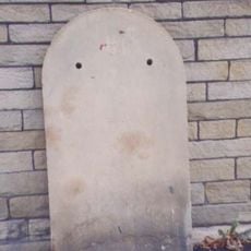
Milestone, Bradford Road, Liversedge in front of Old Oak PH
2 km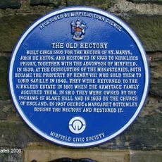
The Old Rectory
2.3 km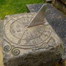
Sundial To South Of Chancel Of St Peter's Church
2.3 km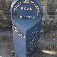
Milestone, Leeds Road, opp. No. 17, Mirfield
1.9 km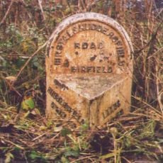
Milestone, Leeds Road, S side of X rds
329 m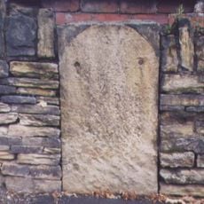
Milestone, Halifax Road, Knowler Hill, Liversedge, opp. The Lonsdale PH
1.6 kmReviews
Visited this place? Tap the stars to rate it and share your experience / photos with the community! Try now! You can cancel it anytime.
Discover hidden gems everywhere you go!
From secret cafés to breathtaking viewpoints, skip the crowded tourist spots and find places that match your style. Our app makes it easy with voice search, smart filtering, route optimization, and insider tips from travelers worldwide. Download now for the complete mobile experience.

A unique approach to discovering new places❞
— Le Figaro
All the places worth exploring❞
— France Info
A tailor-made excursion in just a few clicks❞
— 20 Minutes