
Boundary Stone At Sy 057 898, boundary marker in Aylesbeare, East Devon, Devon, UK
Location: Aylesbeare
Part of: political border
GPS coordinates: 50.69997,-3.33740
Latest update: March 2, 2025 22:59

Fire Beacon Hill
534 m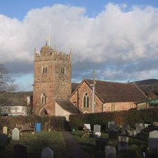
Church of St Luke
2.9 km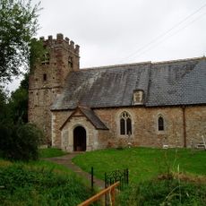
Church of St Gregory
2.6 km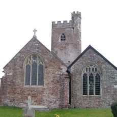
Church of the Blessed Virgin Mary
2.9 km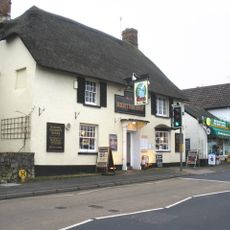
Exeter Inn
2.9 km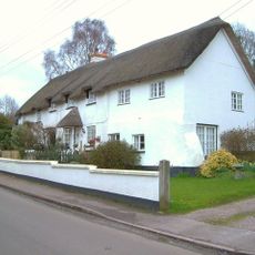
Truants Truants Cottage
2.8 km
Berkeley Cottage
2 km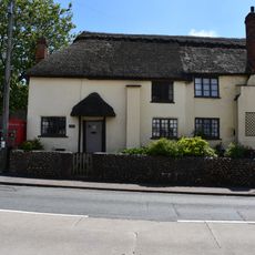
Church Green Cottages
2.9 km
Lower Stowford Farmhouse
2.6 km
Brook Cottage
2.1 km
Hardys Farmhouse
2.8 km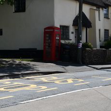
K6 Telephone Kiosk
2.9 km
Dairy House Farmhouse
3.1 km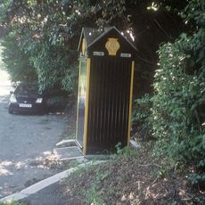
Aa Box No 456
994 m
Drupes Cottages Rose Cottage
3.2 km
Marigold Cottage Rose Cottage
2.6 km
The Old Bakery
3.1 km
Forstmill Wisteria Cottage
3 km
3, The Proopery
2.9 km
Stowford House
3 km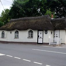
Ye Olde Tolle House
2.3 km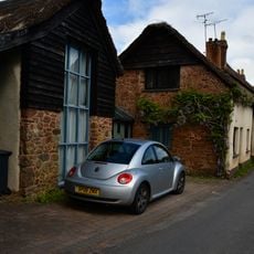
Barn Adjoining To North East Of No 1 Drupes Cottage
3.2 km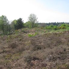
Two bowl barrows on Aylesbeare Common, 630m east and 760m east of Brackendale
279 m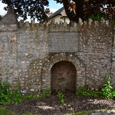
Jubilee Pump
3.1 km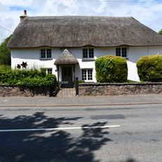
The Gardens, Including Outbuildings Adjoining To North
2.6 km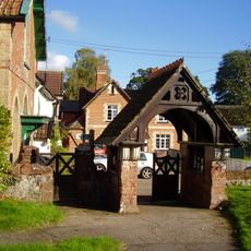
Lychgate And Adjoining Boundary Walls On East Side Of Churchyard
2.8 km
Withen Farmhouse
2.9 km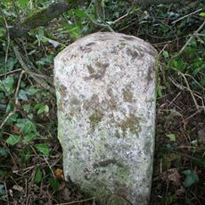
Milestone, Hawkerland, opp double doors, 5m E of new lane
2.6 kmReviews
Visited this place? Tap the stars to rate it and share your experience / photos with the community! Try now! You can cancel it anytime.
Discover hidden gems everywhere you go!
From secret cafés to breathtaking viewpoints, skip the crowded tourist spots and find places that match your style. Our app makes it easy with voice search, smart filtering, route optimization, and insider tips from travelers worldwide. Download now for the complete mobile experience.

A unique approach to discovering new places❞
— Le Figaro
All the places worth exploring❞
— France Info
A tailor-made excursion in just a few clicks❞
— 20 Minutes