
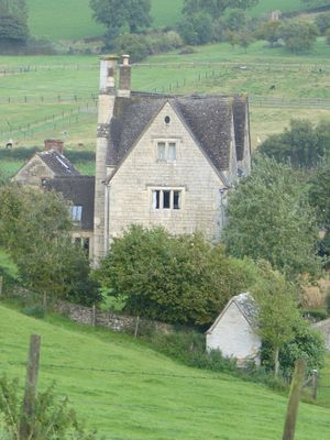
Privy approximately 30 metres west of Stokenhill Farmhouse
Privy approximately 30 metres west of Stokenhill Farmhouse, Grade II listed building in Whiteshill and Ruscombe, Stroud, Gloucestershire, UK
Location: Whiteshill and Ruscombe
GPS coordinates: 51.76087,-2.22559
Latest update: March 7, 2025 02:48
Church of All Saints
1.7 km
Stratford Park
1.3 km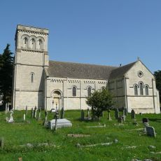
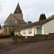
Church of St Paul
465 m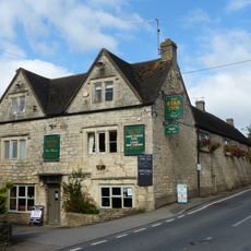
Star Inn
484 m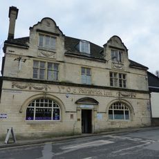
Ye Old Painswick Inn
1.7 km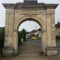
Archway, Formerly To Farm Hill Park
1.4 km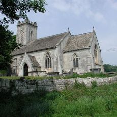
Church of St John the Baptist
1.5 km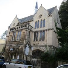
Stroud Spiritualist Church
1.7 km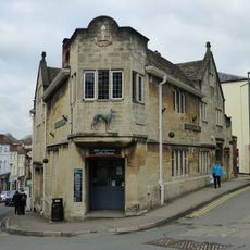
The Greyhound Inn Public House
1.7 km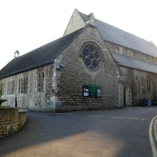
Church of the Immaculate Conception
1.6 km
Willow Court, The Old Court House and Willow House
1.6 km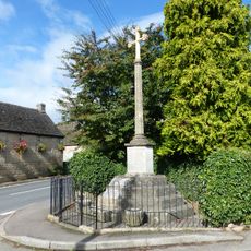
Whiteshill War Memorial
477 m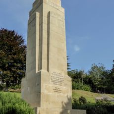
Stroud War Memorial
1.6 km
Gate screen approximately 18 metres south of Pitchcombe House
1.2 km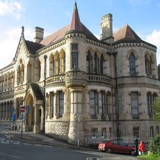
School Of Science And Art
1.7 km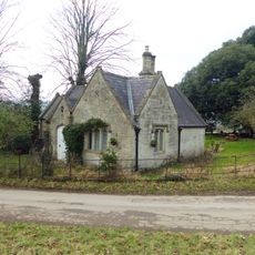
Lodge to Hawkwood College
823 m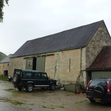
Barn approximately 10 metres south of Ruscombe Farmhouse
1 km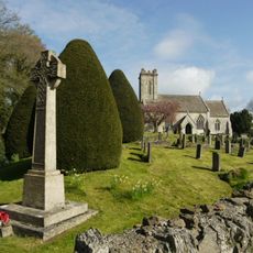
Pitchcombe War Memorial
1.4 km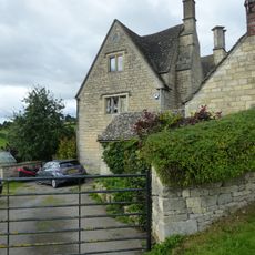
Stokenhill Farmhouse
42 m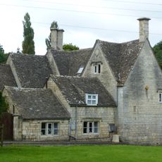
Rock Mill House
321 m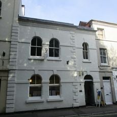
2, Lansdown
1.7 km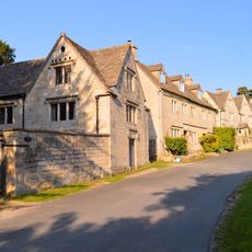
Stables and coach house approximately 30 metres south east of Pitchcombe House
1.2 km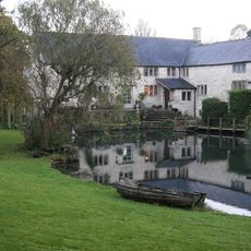
Little Mill
1 km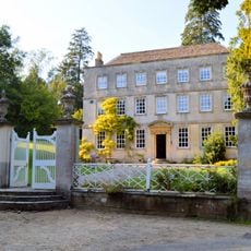
Pitchcombe House
1.2 km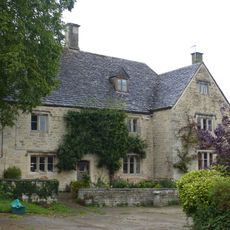
Ruscombe Farmhouse
1 km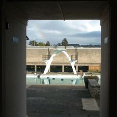
Stratford Park Diving Platform
1.2 km
Nos 1 and 2 (Gannicox House) and No 3
1.7 km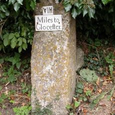
Milestone, Wick Street; 50m N The Malt House
1.5 kmReviews
Visited this place? Tap the stars to rate it and share your experience / photos with the community! Try now! You can cancel it anytime.
Discover hidden gems everywhere you go!
From secret cafés to breathtaking viewpoints, skip the crowded tourist spots and find places that match your style. Our app makes it easy with voice search, smart filtering, route optimization, and insider tips from travelers worldwide. Download now for the complete mobile experience.

A unique approach to discovering new places❞
— Le Figaro
All the places worth exploring❞
— France Info
A tailor-made excursion in just a few clicks❞
— 20 Minutes