
Farmbuildings 20 Metres West Of Black Hall Farmhouse
Farmbuildings 20 Metres West Of Black Hall Farmhouse, agricultural structure in Hexhamshire Low Quarter, Northumberland, UK
Location: Hexhamshire Low Quarter
GPS coordinates: 54.92294,-2.10362
Latest update: April 22, 2025 16:09
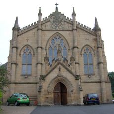
Church of St Mary (Roman Catholic)
5.2 km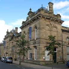
Queen's Hall Arts Centre
5.3 km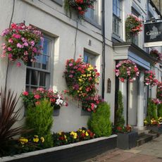
County Hotel
5.3 km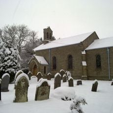
Church of St Mary
4 km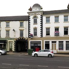
The Royal Hotel
5.3 km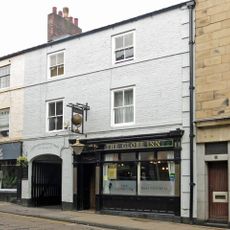
The Old Globe Public House
5.2 km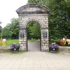
Northumberland Fusiliers' War Memorial Gateway
5.3 km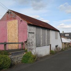
The Ropery, Now The Argyle Cafe
5.2 km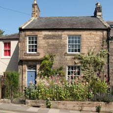
1 and 2 Temperley Place
5.2 km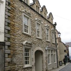
Fandango's Club
5.3 km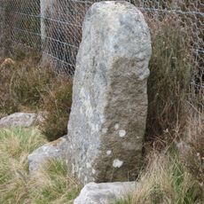
Boundary Stone At Ngr Ny 94045475
4 km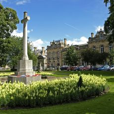
Hexham War Memorial
5.3 km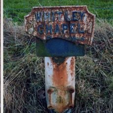
Mile Post On East Side Of Road At Ngr Ny 94615988
1.6 km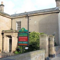
Orchard House
5.3 km
Lloyds Bank
5.3 km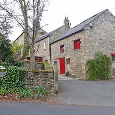
Middle Shield House
4.4 km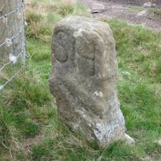
Boundary Stone At Ngr Ny 93945483, Outside Fence Corner
3.9 km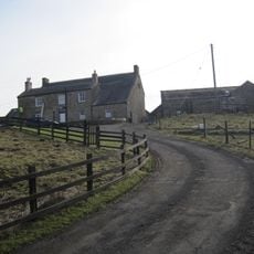
Dotland Park Farmhouse
1.5 km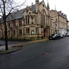
Trinity Methodist Church And Church Hall
5.3 km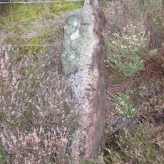
Boundary Stone At Ngr Ny 94305430
4.5 km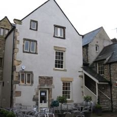
19 And 19a, St Marys Chare
5.3 km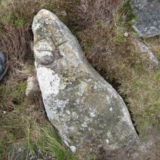
Boundary Stone At Ngr Ny 94125463, On West Of Fence
4.1 km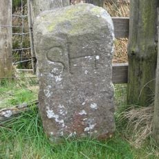
Boundary Stone At Ngr Ny 94515394, Just Within Fence Corner
4.9 km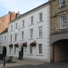
19 And 21, Priestpopple
5.2 km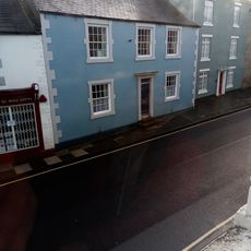
12, Hencotes
5.2 km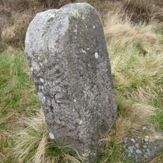
Boundary Stone At Ngr Ny 94165455, On West Of Fence
4.2 km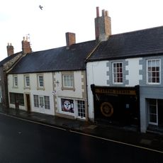
6 And 8, Hencotes
5.2 km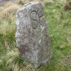
Boundary Stone At Ngr Ny 94005482
3.9 kmVisited this place? Tap the stars to rate it and share your experience / photos with the community! Try now! You can cancel it anytime.
Discover hidden gems everywhere you go!
From secret cafés to breathtaking viewpoints, skip the crowded tourist spots and find places that match your style. Our app makes it easy with voice search, smart filtering, route optimization, and insider tips from travelers worldwide. Download now for the complete mobile experience.

A unique approach to discovering new places❞
— Le Figaro
All the places worth exploring❞
— France Info
A tailor-made excursion in just a few clicks❞
— 20 Minutes