
Open Fronted Shelter Sheds Circa 40 Metres West Of Dilleys Farmhouse
Open Fronted Shelter Sheds Circa 40 Metres West Of Dilleys Farmhouse, building in Baunton, Cotswold, Gloucestershire, UK

Barnsley Warren
1.4 km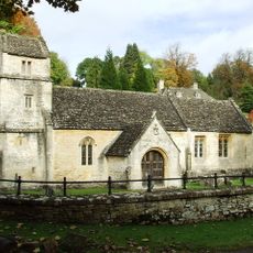
Church of St Margaret
3 km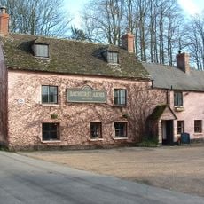
Bathurst Arms
2.7 km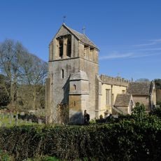
Church of All Saints
2.7 km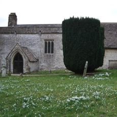
Church of St Mary Magdalene
2.5 km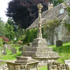
Cross and cross shaft base in the churchyard of the Church of All Saints, circa 9 metres south of the south porch
2.7 km
Group of 35 17th to 18th century monuments in the churchyard of the Church of All Saints, west of the path to Church Cottage as far as the Henry Baldwin Monument
2.7 km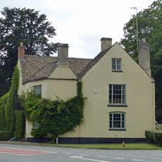
The Bear
2.2 km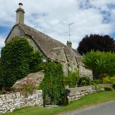
Church Cottage
2.7 km
Pair of monuments in the churchyard of the Church Of All Saints, circa 18 metres south of the south porch
2.7 km
Two monuments in the churchyard of the Church Of St Margaret circa 1 and 1/2 to 3 metres south east of the porch
3 km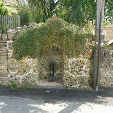
Water pump and water pump recess opposite Elmlea
2.7 km
The Old Rectory
2.8 km
Thatch Cottage
3 km
Bagendon Manor or Manor Farm
3 km
Row of 3 monuments in the churchyard of the Church of All Saints circa 6 and 1/2 metres south east of the chancel
2.7 km
Stockwell Monument in the churchyard of the Church of All Saints, circa 6 metres west of the porch
2.7 km
Elmlea
2.7 km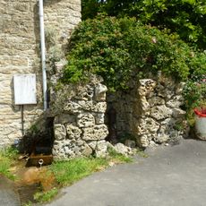
Pump and pump recess circa 10 metres south east of Granny Mabbett's Corner
2.7 km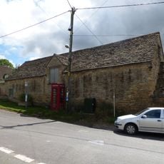
Stableblock circa 50 metres north of Manor Farm
2.7 km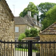
Manor Farm
2.7 km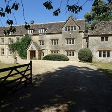
Baunton Mill
2.7 km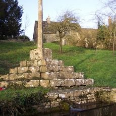
Cross shaft and cross shaft base circa 40 metres south of Number 59
2.4 km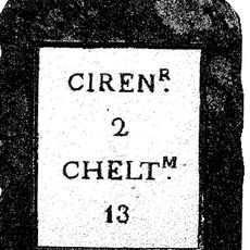
Milestone
2.2 km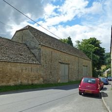
Double barn circa 50 metres north of Manor Farm
2.7 km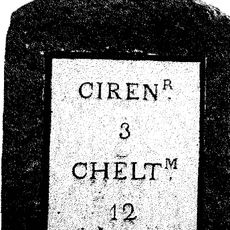
Milestone
1.9 km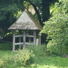
Lychgate on the northern boundary of the churchyard of the Church of All Saints
2.8 km
Cerney House Gardens
2.9 kmReviews
Visited this place? Tap the stars to rate it and share your experience / photos with the community! Try now! You can cancel it anytime.
Discover hidden gems everywhere you go!
From secret cafés to breathtaking viewpoints, skip the crowded tourist spots and find places that match your style. Our app makes it easy with voice search, smart filtering, route optimization, and insider tips from travelers worldwide. Download now for the complete mobile experience.

A unique approach to discovering new places❞
— Le Figaro
All the places worth exploring❞
— France Info
A tailor-made excursion in just a few clicks❞
— 20 Minutes