31 And 33, Denmark Street, building in Wokingham, Wokingham, Berkshire, UK
Location: Wokingham
Address: 31 And 33, Denmark Street, Wokingham, Wokingham, Berkshire, RG40
GPS coordinates: 51.40895,-0.83553
Latest update: October 27, 2025 11:08

Bearwood House, Sindlesham
3.6 km
Easthampstead Park
3.5 km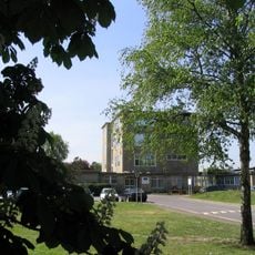
St Crispin's School
946 m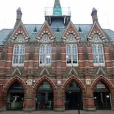
Wokingham Town Hall
196 m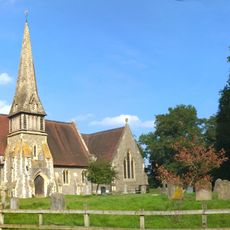
Church of St James
3.3 km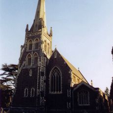
Church of St Paul
805 m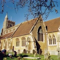
Church of All Saints
584 m
Church of St Catherine
3.1 km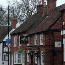
The Crispin Public House
39 m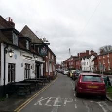
Queen's Head Public House
443 m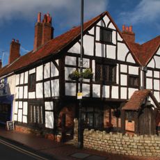
Tudor House
339 m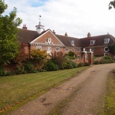
Henry Lucas Hospital And Attached Water Pumps
1 km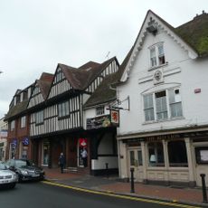
Red Lion Public House
162 m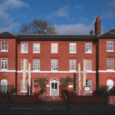
Montague House And Attached Garden Walls
284 m
33, Rose Street
430 m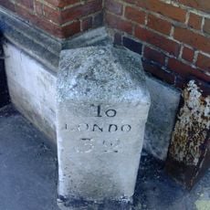
Milestone Adjoining North West Corner Of The Post Office
221 m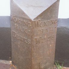
Boundary Marker At South West Corner Of No 6 Wiltshire Road
558 m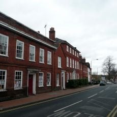
6, Shute End
314 m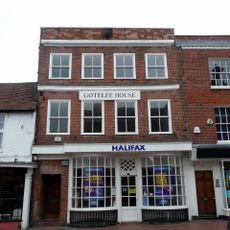
6, Market Place
172 m
Three Wall And Gate Piers To Wokingham Baptist Church
399 m
The Old Bull And Bush
246 m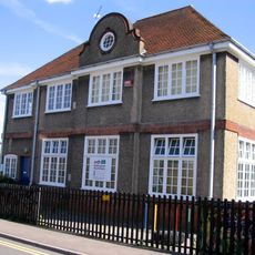
The Annexe At Westcott Infant School
540 m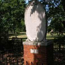
Memorial Stone
2.7 km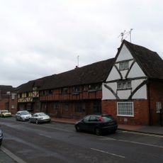
37, Rose Street
445 m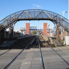
Footbridge Immediately South Of Wokingham Station
530 m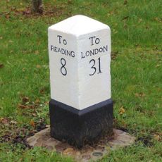
Milepost, London Road; Clay Lane/ Waterloo Lodge, Frog Hall
1.5 km
Work of art, sculpture
3 km
Jennett's Park Country Park
3.3 kmReviews
Visited this place? Tap the stars to rate it and share your experience / photos with the community! Try now! You can cancel it anytime.
Discover hidden gems everywhere you go!
From secret cafés to breathtaking viewpoints, skip the crowded tourist spots and find places that match your style. Our app makes it easy with voice search, smart filtering, route optimization, and insider tips from travelers worldwide. Download now for the complete mobile experience.

A unique approach to discovering new places❞
— Le Figaro
All the places worth exploring❞
— France Info
A tailor-made excursion in just a few clicks❞
— 20 Minutes