
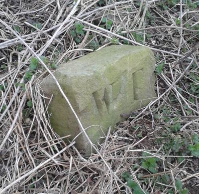
Boundary Stone At Ngr Se 871539, boundary marker in Warter, East Riding of Yorkshire, UK
Location: Warter
Part of: political border
GPS coordinates: 53.97432,-0.67337
Latest update: March 2, 2025 20:16
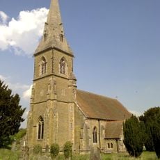
St James' Church, Warter
3.5 km
Church of Saint Giles
8.4 km
Church of Saint Mary
7.7 km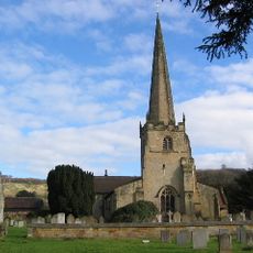
Church of St Edith
7.4 km
Church of St. Helen
6.1 km
Church of Saint James
6.6 km
Church of St Mary
5.3 km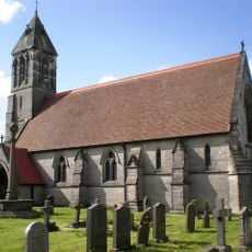
Church of St Mary
7.1 km
Church of St. Mary
1.9 km
Church of Saint Ethelburgh
5.8 km
Church of St Nicholas
8 km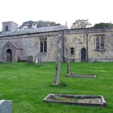
Church of St Margaret
4.6 km
Church of All Saints
7.8 km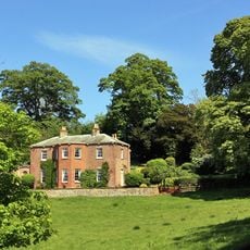
Painsthorpe Hall
7.3 km
Church of All Saints
6.6 km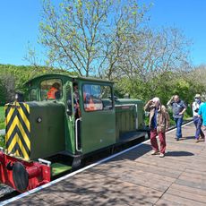
Yorkshire Wolds Railway
7.9 km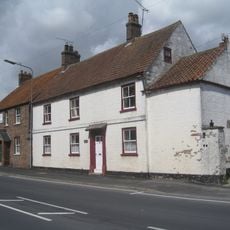
Woods Farmhouse
8.1 km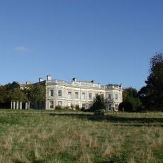
Kilnwick Percy Hall
6.1 km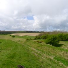
Sections of single and multiple linear boundary dykes on Huggate Pasture and Frendal Dale
2.2 km
Wetwang House
8.1 km
Manor Farmhouse
8.1 km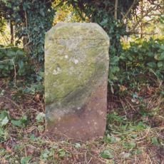
Milestone About 155 Metres West Of Brickyard Cottages
4.3 km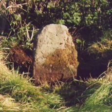
Milestone, W of entrance to Fimber Field Farm
6.1 km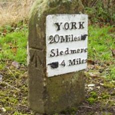
Milestone, E end of Fimber village
7.2 km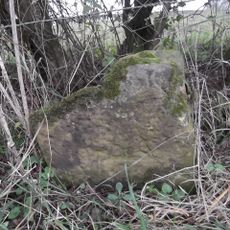
Milestone, just N of Middleton on the Wolds
8 km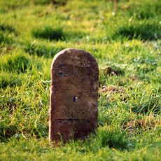
Milestone, entrance to Wold House Farm (east entrance)
3.9 km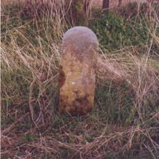
Milestone, ¾mile from Fridaythorpe on Fimber Road
5.8 km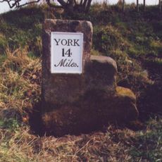
Milestone, 100m E of the Crucification memorial
7.2 kmReviews
Visited this place? Tap the stars to rate it and share your experience / photos with the community! Try now! You can cancel it anytime.
Discover hidden gems everywhere you go!
From secret cafés to breathtaking viewpoints, skip the crowded tourist spots and find places that match your style. Our app makes it easy with voice search, smart filtering, route optimization, and insider tips from travelers worldwide. Download now for the complete mobile experience.

A unique approach to discovering new places❞
— Le Figaro
All the places worth exploring❞
— France Info
A tailor-made excursion in just a few clicks❞
— 20 Minutes