
Stratton Park, architectural structure in Stratton St. Margaret, Swindon, Wiltshire, UK
Location: Stratton St Margaret
GPS coordinates: 51.57483,-1.73414
Latest update: April 7, 2025 22:28
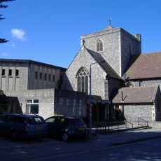
Holy Rood Church, Swindon
3.5 km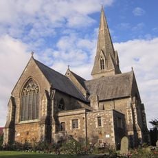
Christ Church
3.6 km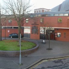
Swindon Law Courts
3.6 km
The Crumpled Horn
2.3 km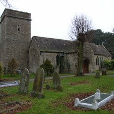
Church of St Margaret
1 km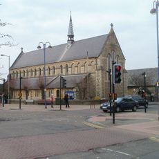
Church of St Barnabas
3 km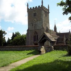
Church of St Mary Magdalen
2 km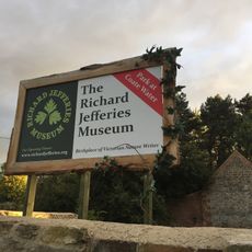
Richard Jefferies Museum
3.4 km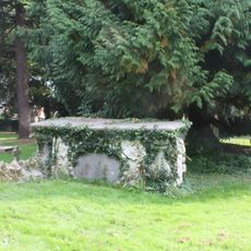
Churchyard Tomb Of Susanah Nicholas Van Acker Of Erith
1 km
Remains of Holy Rood Church, The Lawn, Old Town
3.6 km
Empire Cinema
1.6 km
Roman Road Bridge (MLN1/75 08)
398 m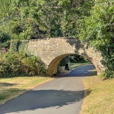
Canal Bridge, 300 Metres North East Of The County, Or Magic Roundabout
2.6 km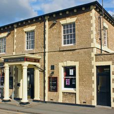
The Queen's Tap
3.7 km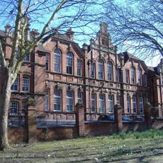
Clarence Street School
3.6 km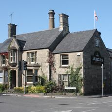
Arkells Brewery House Brewery House
2.8 km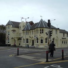
The Great Western Hotel
3.6 km
73, Swindon Road
1.3 km
19, Green Road
2.5 km
Swindon Civic Offices
3.5 km
41, Green Road
2.3 km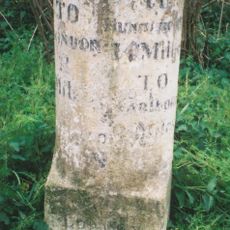
Milestone
3.5 km
Milestone Opposite St Philip's Road
2.7 km
The Wheatsheaf
1.1 km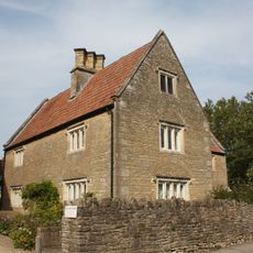
Church Farmhouse
1 km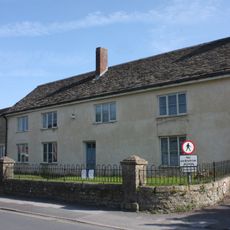
21, Green Road
2.5 km
Pigeon House To Rear Of Premises Of Coventry Drafting Company
1.5 km
Tesco Extra
2.6 kmReviews
Visited this place? Tap the stars to rate it and share your experience / photos with the community! Try now! You can cancel it anytime.
Discover hidden gems everywhere you go!
From secret cafés to breathtaking viewpoints, skip the crowded tourist spots and find places that match your style. Our app makes it easy with voice search, smart filtering, route optimization, and insider tips from travelers worldwide. Download now for the complete mobile experience.

A unique approach to discovering new places❞
— Le Figaro
All the places worth exploring❞
— France Info
A tailor-made excursion in just a few clicks❞
— 20 Minutes