
Wery Wall, wall in Lancaster, Lancashire, UK
Location: Lancaster
Part of: Part of a Roman fort and its associated vicus and remains of a pre-Conquest monastery and a Benedictine priory on Castle Hill, Lancaster Roman Fort
GPS coordinates: 54.05147,-2.80352
Latest update: May 1, 2025 06:46


Lancaster Priory
228 m
Judges' Lodgings
142 m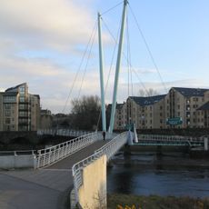
Lune Millennium Bridge
135 m
Lancaster Priory
152 m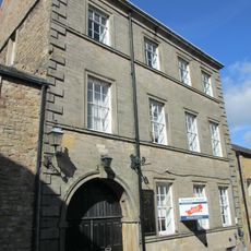
Church House
129 m
100, Church Street
131 m
73, Church Street
176 m
69 and 71, Church Street
179 m
98, Church Street
131 m
78 and 80, Church Street
149 m
1 Castle Hill
176 m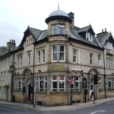
Duke Of Lancaster Public House
172 m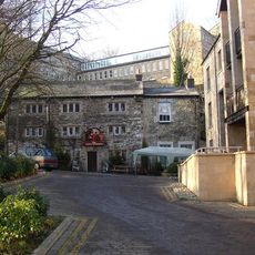
The Three Mariners Public House
53 m
Rawlinson Memorial, approximately 13 metres north of tower of Church of St Mary
172 m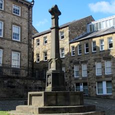
Covell Cross
153 m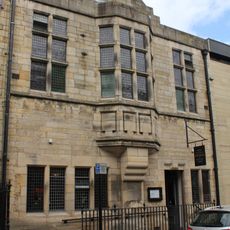
Former Masonic Hall
170 m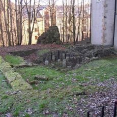
Part of a Roman fort and its associated vicus and remains of a pre-Conquest monastery and a Benedictine priory on Castle Hill
134 m
1 and 3, Cable Street
139 m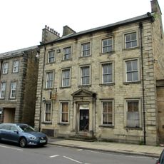
5, Cable Street
156 m
Pye's Building
150 m
15 And 19, St Marys Parade
173 m
1A Castle Hill
174 m
1-9, St Marys Parade
150 m
Church Steps
151 m
2, Castle Hill
171 m
Greycourt
127 m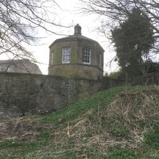
Garden House Behind Number 2, Greycourt
42 m
Conservative Club and attached railings
163 mReviews
Visited this place? Tap the stars to rate it and share your experience / photos with the community! Try now! You can cancel it anytime.
Discover hidden gems everywhere you go!
From secret cafés to breathtaking viewpoints, skip the crowded tourist spots and find places that match your style. Our app makes it easy with voice search, smart filtering, route optimization, and insider tips from travelers worldwide. Download now for the complete mobile experience.

A unique approach to discovering new places❞
— Le Figaro
All the places worth exploring❞
— France Info
A tailor-made excursion in just a few clicks❞
— 20 Minutes