
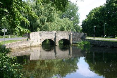
Nuns' Bridge South, bridge in Thetford, Breckland, Norfolk, England
Location: Thetford
Part of: Nuns' Bridges, Thetford
GPS coordinates: 52.40848,0.75332
Latest update: March 4, 2025 17:30
Dad's Army Museum
530 m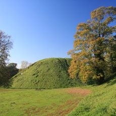
Thetford Castle
315 m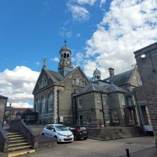
Dad's Army Museum Thetford
527 m
Palace Cinema
420 m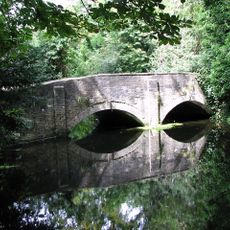
Nuns' Bridge North
90 m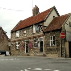
Dolphin Inn
221 m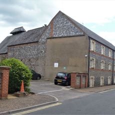
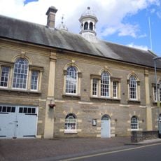
District Council Offices And Attached Maltings
418 m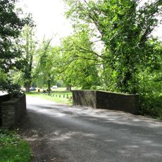
Nuns' Bridge Central
59 m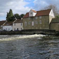
Old Mill Public House, Rudolph's Nite Spot And Old Mill Pizza House
521 m
38-48, Castle Street
494 m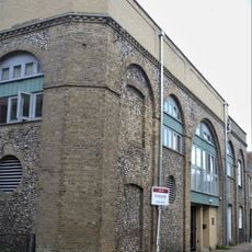
Thetford Glass Warehouse
321 m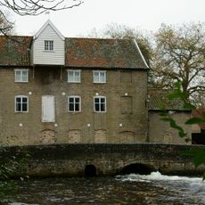
Old Water Mill
480 m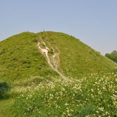
Castle Hill: motte and bailey castle, Iron Age earthwork enclosure and site of Augustinian friary
328 m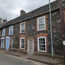
Boscombe House Twyford
179 m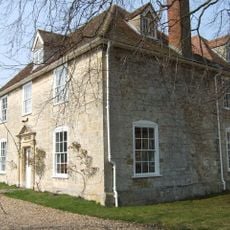
The Nunnery
257 m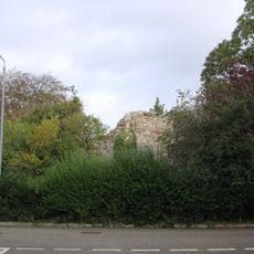
Nunnery Place Ruin Approximately 10 Metres South East Of The Nunnery
296 m
71-87, Castle Street
529 m
89 And 91, Castle Street
531 m
50-60, Castle Street
488 m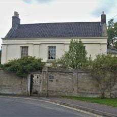
The Paddock Including Front Wall And Stables
272 m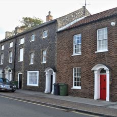
30, Castle Street
510 m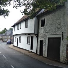
51 And 53, Old Market Street
235 m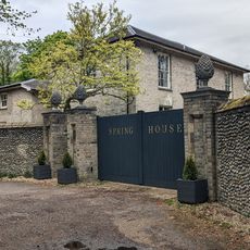
Spring House
273 m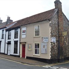
6, 6A-D And 8, Raymond Street
501 m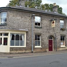
11 And 11A, Raymond Street
505 m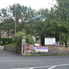
Ford Place And Attached Grotto
165 m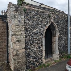
Doorway In Garden Wall South East Of Number 9
208 m
The Old Rectory Guest House
361 mReviews
Visited this place? Tap the stars to rate it and share your experience / photos with the community! Try now! You can cancel it anytime.
Discover hidden gems everywhere you go!
From secret cafés to breathtaking viewpoints, skip the crowded tourist spots and find places that match your style. Our app makes it easy with voice search, smart filtering, route optimization, and insider tips from travelers worldwide. Download now for the complete mobile experience.

A unique approach to discovering new places❞
— Le Figaro
All the places worth exploring❞
— France Info
A tailor-made excursion in just a few clicks❞
— 20 Minutes