
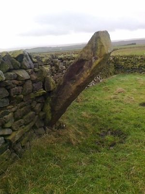
Pole Stoop, boundary marker in Keighley, West Yorkshire, England, UK
Location: Keighley
Part of: political border
GPS coordinates: 53.87135,-1.98024
Latest update: April 12, 2025 00:38
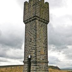
Lund's Tower
2.6 km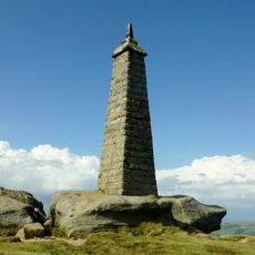
Wainman's Pinnacle
3.1 km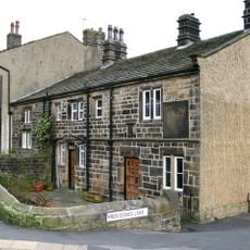
Oakworth Hall
3.4 km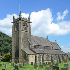
Church of St Thomas
2.6 km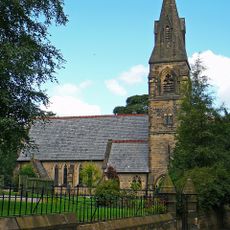
St Stephen's Church
3.5 km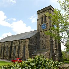
Christ Church
3.3 km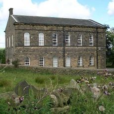
Slack Lane Baptist Church
2.7 km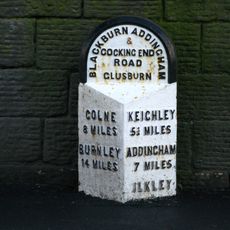
Milestone 200 Metres West Of Glusburn Institute
3.4 km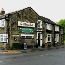
Black Bull Inn
2.6 km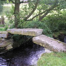
Clapper Bridge Over Dean Beck
1.3 km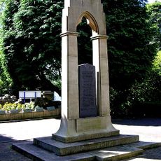
Oakworth WWI Memorial Arch
3.5 km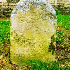
Guidestone At Junction With Barr House Lane, Opposite Cairn Croft
3.8 km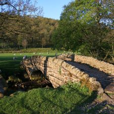
Packhorse Bridge Over Dean Beck
1.3 km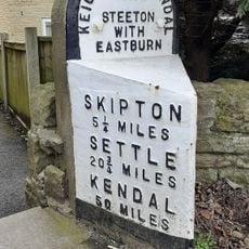
Milestone To Front Of Number 52
2.9 km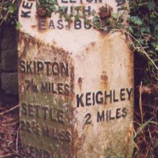
Milestone 200 Metres North West Of Meadow Field
3.7 km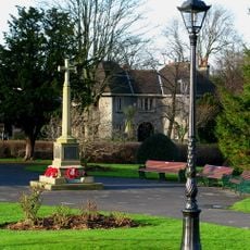
Sutton-in-Craven War Memorial
2.7 km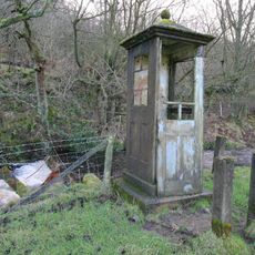
K1 Telephone Kiosk, Newsholme Dean
1.4 km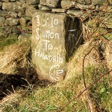
Guidestone, Game Scar Lane, Goose Eye Brow
1.7 km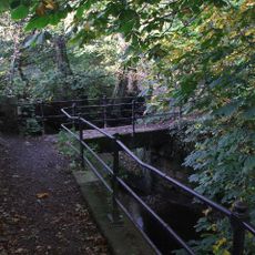
Footbridge Approximately 17 Metres To South West Of Rag Mill
1.8 km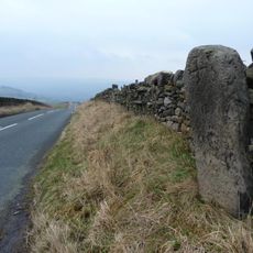
Sutton Stoop
511 m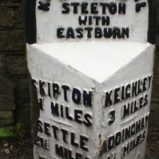
Milestone To Front Of Number 10
3.4 km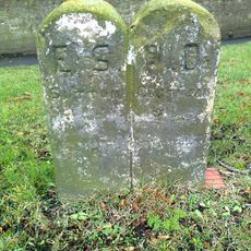
Boundary Stone Opposite Bridge End Farm
3.5 km
Cross Built Into Wall Opposite Well Croft
2 km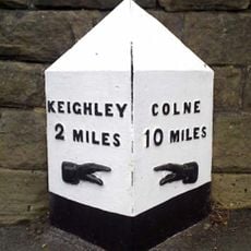
Milepost On North Side Of Junction With Apsley Road
3.5 km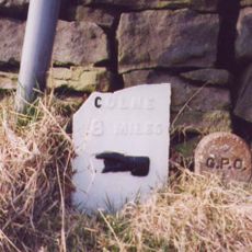
Milestone, on Harehills Lane, approx ½ mile W of Oldfield Lane jct
3.5 km
Milestone, E of Cowling, Xrds Pole Road/Buckstone Road
2 km
Milestone, E of Cowling
1.5 km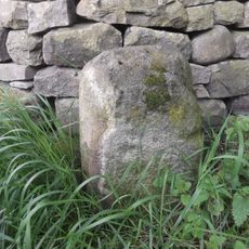
Guidestone, Lyon Road, Eastburn
3.3 kmReviews
Visited this place? Tap the stars to rate it and share your experience / photos with the community! Try now! You can cancel it anytime.
Discover hidden gems everywhere you go!
From secret cafés to breathtaking viewpoints, skip the crowded tourist spots and find places that match your style. Our app makes it easy with voice search, smart filtering, route optimization, and insider tips from travelers worldwide. Download now for the complete mobile experience.

A unique approach to discovering new places❞
— Le Figaro
All the places worth exploring❞
— France Info
A tailor-made excursion in just a few clicks❞
— 20 Minutes