
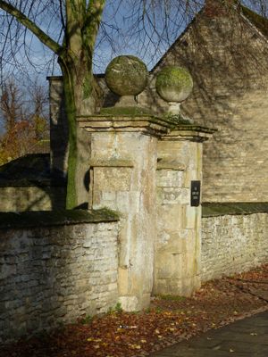
South gatepier and attached wall approximately 100 metres east Of Henry Box School
South gatepier and attached wall approximately 100 metres east Of Henry Box School, architectural structure in Witney, West Oxfordshire, Oxfordshire, UK
Location: Witney
Part of: The Henry Box School
GPS coordinates: 51.78145,-1.48560
Latest update: March 5, 2025 15:18
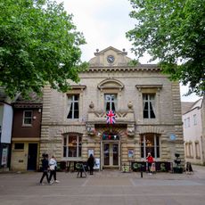
Corn Exchange
320 m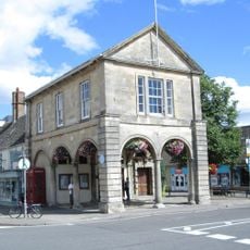
Town Hall
267 m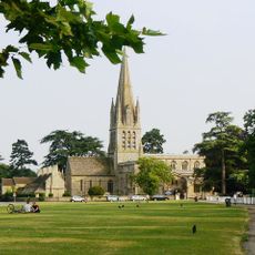
Church of St Mary the Virgin, Witney
81 m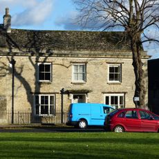
15A and 15B, Church Green
134 m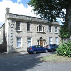
Masonic Hall and attached outbuilding and wall
100 m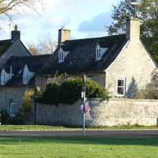
29, Church Green
91 m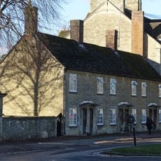
28-38, Church Green
31 m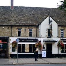
The Cross Keys Public House
403 m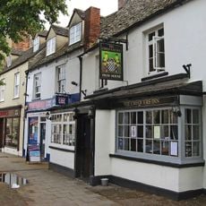
The Chequers Inn
319 m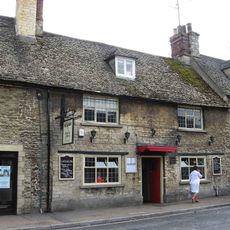
The Holly Bush Public House
281 m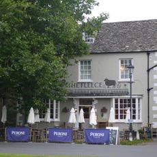
Fleece Hotel
154 m
Blue Boar
307 m
The Three Horseshoes Public House
395 m
Bishop of Winchester's Palace, 90m east of St Mary's Church
140 m
Batt House
362 m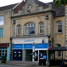
Barclays Bank
293 m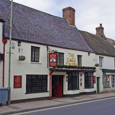
Eagle Tavern Public House
273 m
Midland Bank
332 m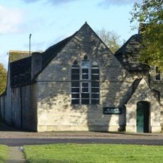
St Mary's School
122 m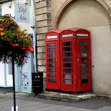
Pair Of K6 Telephone Kiosks Adjacent To Town Hall
274 m
Old Place
113 m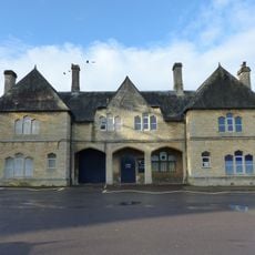
The Teaching Centre, Henry Box School
20 m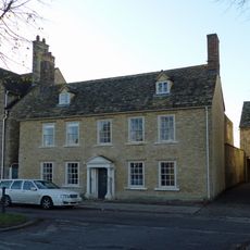
The Rectory and attached wall
86 m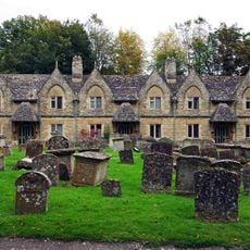
Holloways Almshouses
75 m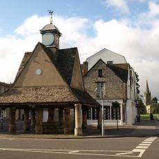
Butter Cross
241 m
The Old Rectory and attached wall
95 m
23 and 25 Church Green
103 m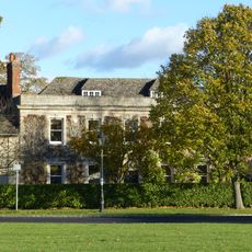
St Mary's Close
104 mReviews
Visited this place? Tap the stars to rate it and share your experience / photos with the community! Try now! You can cancel it anytime.
Discover hidden gems everywhere you go!
From secret cafés to breathtaking viewpoints, skip the crowded tourist spots and find places that match your style. Our app makes it easy with voice search, smart filtering, route optimization, and insider tips from travelers worldwide. Download now for the complete mobile experience.

A unique approach to discovering new places❞
— Le Figaro
All the places worth exploring❞
— France Info
A tailor-made excursion in just a few clicks❞
— 20 Minutes