
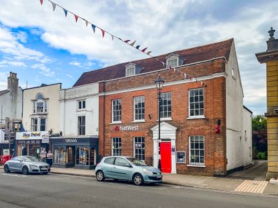
36 And 37, High Street, building in Lymington and Pennington, New Forest, Hampshire, UK
Location: Lymington and Pennington
GPS coordinates: 50.75832,-1.54128
Latest update: March 9, 2025 08:21
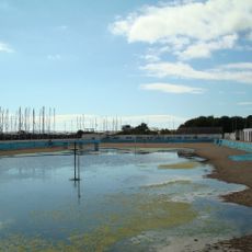
Lymington Open Air Sea Water Baths
1.1 km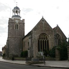
Church of St. Thomas the Apostle
280 m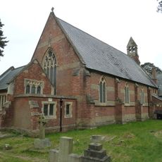
Church of St Mark
1.6 km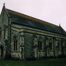
Church of All Saints
950 m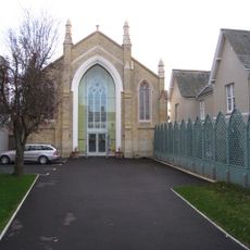
United Reform Church
86 m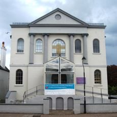
Baptist Church
119 m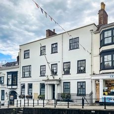
Standwell House Hotel Stanwell House Hotel
148 m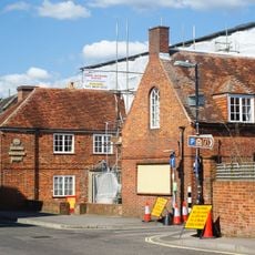
Lymington Community Centre
196 m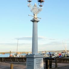
Burrard-Neale Memorial Gas Lamp
1 km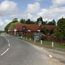
Walhampton Arms, formerly farm building range at Home Farm
1.2 km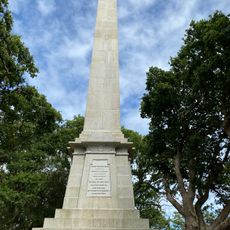
Burard-neale Monument
875 m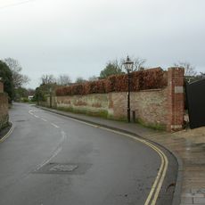
Garden wall to Elm Grove House
325 m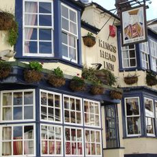
The King's Head Public House
244 m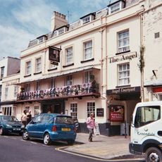
The Angel Hotel
60 m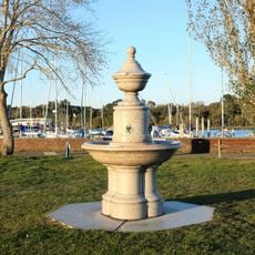
Drinking Fountain
894 m
Wood End
1.6 km
Walhampton House Walhampton School
1.4 km
Monmouth House (including The Former Office Of The Clerk To The Justices)
319 m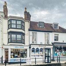
16-18, High Street
130 m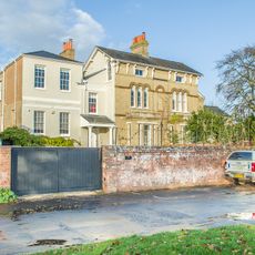
Hill House
672 m
Lloyds Bank
27 m
Quay Hill Surface
258 m
No 1, 3 And 5 And Cast Iron Bollard Against No 1 At Junction Of Gosport Street And Quay Hill
244 m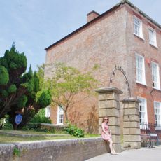
Ivy House No 63 And Area Railings Twynham House
249 m
No 6 And Band Of Stone Paving On West Sides
288 m
102 And 103, High Street
36 m
29, High Street
51 m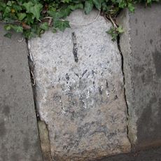
Milestone, Pennington
1.4 kmVisited this place? Tap the stars to rate it and share your experience / photos with the community! Try now! You can cancel it anytime.
Discover hidden gems everywhere you go!
From secret cafés to breathtaking viewpoints, skip the crowded tourist spots and find places that match your style. Our app makes it easy with voice search, smart filtering, route optimization, and insider tips from travelers worldwide. Download now for the complete mobile experience.

A unique approach to discovering new places❞
— Le Figaro
All the places worth exploring❞
— France Info
A tailor-made excursion in just a few clicks❞
— 20 Minutes