
Milestone At Ngr Sp 147240, milestone in Upper Slaughter, Cotswold, Gloucestershire, UK
Location: Upper Slaughter
Inception: 19 century
GPS coordinates: 51.91466,-1.78822
Latest update: March 3, 2025 00:34

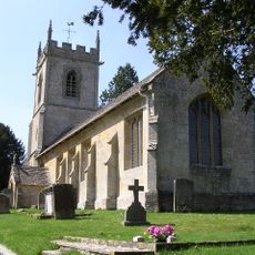
St Andrew's Parish Church
3.5 km
Brassey SSSI
1.8 km
Huntsman's Quarry
2.8 km
Lower Swell War Memorial
3.1 km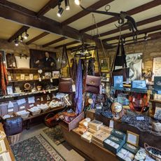
The Old Mill
2.2 km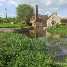
Lower Slaughter Museum
2.2 km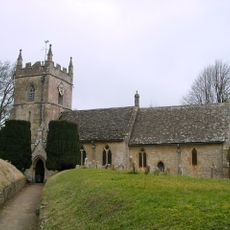
Church of St Peter, Upper Slaughter
1.1 km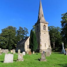
Church of St Mary
2.4 km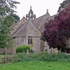
Church of St Mary
3.2 km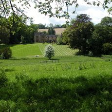
Lords Of The Manor Hotel
1.3 km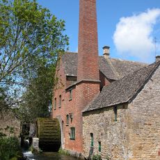
Slaughter Mill
2.2 km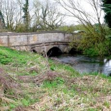
Bourton Bridge
3.4 km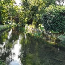
Down Stream Bridge
2.4 km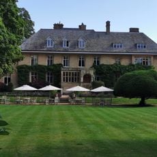
The Manor House
2.4 km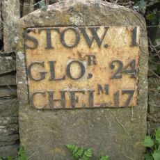
Mile Stone Opposite Old Farmhouse Hotel
3.2 km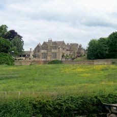
Nether Swell Manor And Gatepiers Attached To North East Corner
3.6 km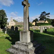
Lower Slaughter War Memorial
2.4 km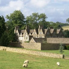
Manor House
1.4 km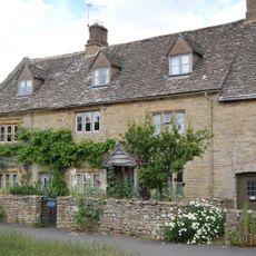
Vine Cottage Vine House
2.3 km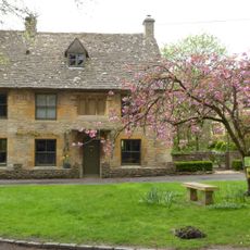
Littons
3.4 km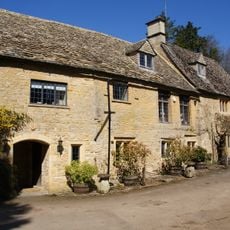
Little Aston Mill
2.7 km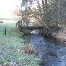
Footbridge Over River Eye 20 Yards East Of Eyford Lodge
570 m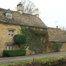
Dene House
2.3 km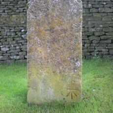
Milestone 1 Furlong Southeast Of Fox Farmhouse
3.5 km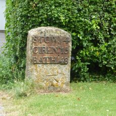
Milestone Beside A429 (West Side) About 350 Metres South West Of Turning To Bourton On The Water
3.5 km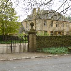
The Old Rectory
3.4 km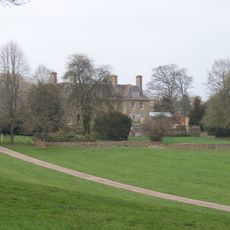
Eyford Park
617 m
Dovecote South West Of Manor House
3.1 kmReviews
Visited this place? Tap the stars to rate it and share your experience / photos with the community! Try now! You can cancel it anytime.
Discover hidden gems everywhere you go!
From secret cafés to breathtaking viewpoints, skip the crowded tourist spots and find places that match your style. Our app makes it easy with voice search, smart filtering, route optimization, and insider tips from travelers worldwide. Download now for the complete mobile experience.

A unique approach to discovering new places❞
— Le Figaro
All the places worth exploring❞
— France Info
A tailor-made excursion in just a few clicks❞
— 20 Minutes