
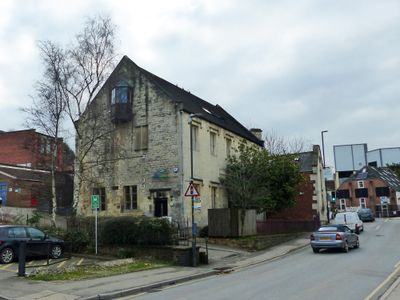
British School, including railings to street
British School, including railings to street, Grade II listed former school building in Stroud, Gloucestershire, UK
Location: Stroud
Inception: 1840
GPS coordinates: 51.74707,-2.21670
Latest update: March 17, 2025 08:47
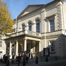
Stroud Subscription Rooms
244 m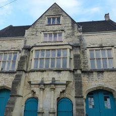
Town Hall
187 m
Frome Banks
543 m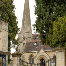
Church of St Laurence
150 m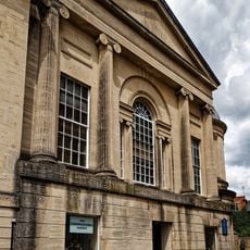
Congregational Church
223 m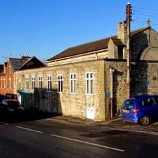
Church of Saint Alban
507 m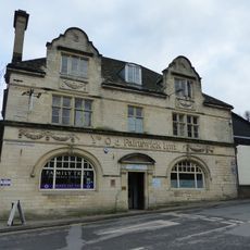
Ye Old Painswick Inn
28 m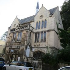
Stroud Spiritualist Church
82 m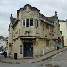
The Greyhound Inn Public House
106 m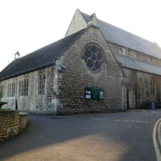
Church of the Immaculate Conception
151 m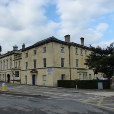
Willow Court, The Old Court House and Willow House
40 m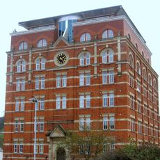
Hill Paul building
398 m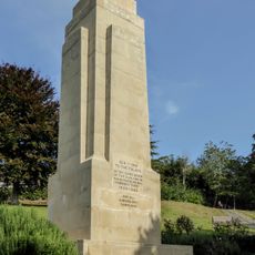
Stroud War Memorial
163 m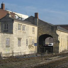
The Goods Shed
379 m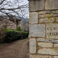
Corbett House And Corbett House Lodge
529 m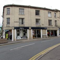
The Cooperative Stores
234 m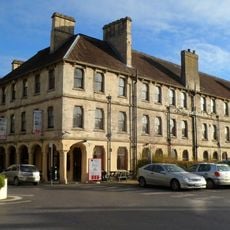
Imperial Hotel
291 m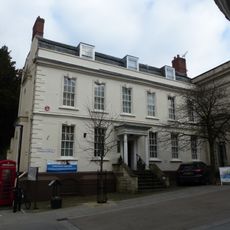
District Council Offices
127 m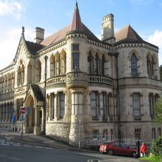
School Of Science And Art
56 m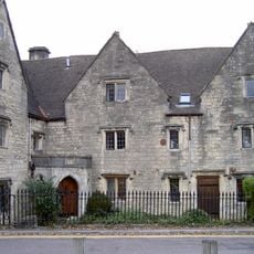
The Vicarage/garden railings at The Vicarage
120 m
57, High Street
183 m
Clock Tower
281 m
58, High Street
172 m
High Street
263 m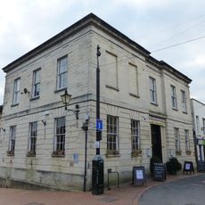
9, John Street
314 m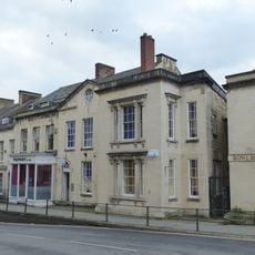
Numbers 1 to 10 (consecutive) including iron railings to areas of Numbers 1, 2, 3 and 6
294 m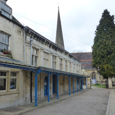
Church Hall
180 m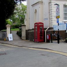
K6 Telephone Kiosk, High Street
119 mReviews
Visited this place? Tap the stars to rate it and share your experience / photos with the community! Try now! You can cancel it anytime.
Discover hidden gems everywhere you go!
From secret cafés to breathtaking viewpoints, skip the crowded tourist spots and find places that match your style. Our app makes it easy with voice search, smart filtering, route optimization, and insider tips from travelers worldwide. Download now for the complete mobile experience.

A unique approach to discovering new places❞
— Le Figaro
All the places worth exploring❞
— France Info
A tailor-made excursion in just a few clicks❞
— 20 Minutes