
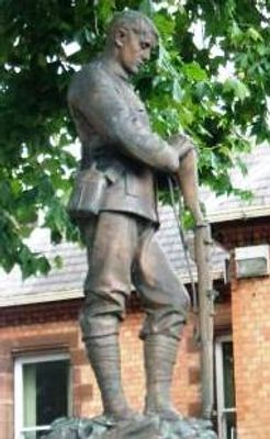
Stone War Memorial, Staffordshire, war memorial in Stone, Stafford, Staffordshire, UK
Location: Stone
Creator: Albert Toft
GPS coordinates: 52.90331,-2.14839
Latest update: March 3, 2025 08:08

Oulton Abbey
1.7 km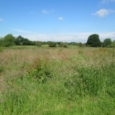
Stone Meadows
400 m
Church of St Michael, Stone
388 m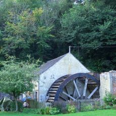
Coppice Mill
1 km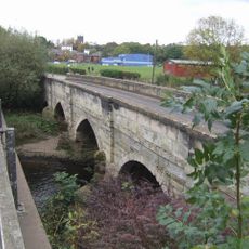
Walton Bridge
600 m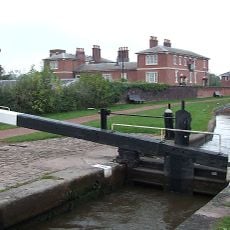
Trent And Mersey Canal Yard Lock
208 m
Trent And Mersey Canal Star Lock
340 m
Stone Library
140 m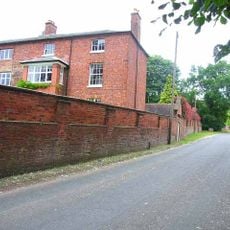
Oulton Old Hall
1.8 km
Cumberland House
259 m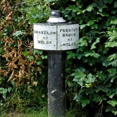
Canal Mile Post 22 Yards To North Of Top Lock Bridge (Canal Bridge 98)
1.9 km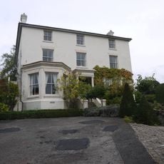
The Priory
356 m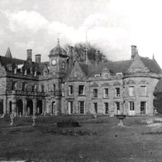
Meaford Hall The Manor House
2 km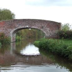
Trent And Mersey Canal Andre Mills Bridge Number 92
1.3 km
St Mary's Abbey
1.8 km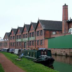
Former Ale Stores, Stables And Nos. 29A And 29B
184 m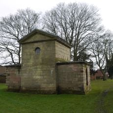
Jervis Mausoleum Approximately 5 Metres East Of Church Of St Michael
413 m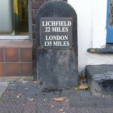
Milestone In Front Of Number 64 (Not Included)
31 m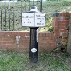
Trent And Mersey Canal Milepost Approximately 5 Metres To South Of Stafford Road Bridge
383 m
Hayes Mill
1.5 km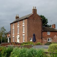
Brassworks Farmhouse
1.8 km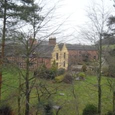
Meaford Old Hall Farmhouse
1.6 km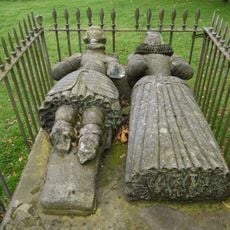
Crompton Tomb Approximately 52 Metres South West Of Church Of St Michael
344 m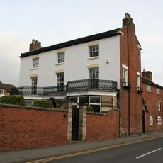
The Mansion House And Attached Wall
484 m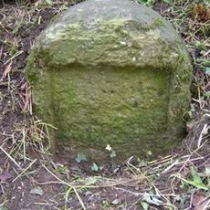
Milestone, W of Edge Hill
1.5 km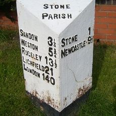
Milepost, Lichfield Road
1.6 km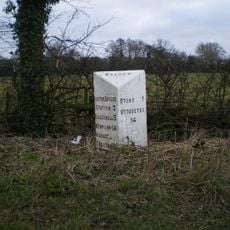
Milepost, Walton Heath, W of Stone
1.5 km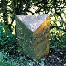
Milepost, near Oulton Cross jct
1.4 kmVisited this place? Tap the stars to rate it and share your experience / photos with the community! Try now! You can cancel it anytime.
Discover hidden gems everywhere you go!
From secret cafés to breathtaking viewpoints, skip the crowded tourist spots and find places that match your style. Our app makes it easy with voice search, smart filtering, route optimization, and insider tips from travelers worldwide. Download now for the complete mobile experience.

A unique approach to discovering new places❞
— Le Figaro
All the places worth exploring❞
— France Info
A tailor-made excursion in just a few clicks❞
— 20 Minutes