
57 And 59, Thrupp Lane, building in Brimscombe and Thrupp, Stroud, Gloucestershire, UK
Location: Brimscombe and Thrupp
GPS coordinates: 51.73368,-2.20051
Latest update: March 14, 2025 06:40
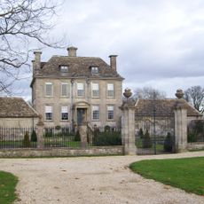
Nether Lypiatt Manor
1.1 km
Stroud Subscription Rooms
1.7 km
Rodborough Common
1.2 km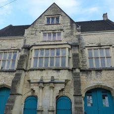
Town Hall
1.7 km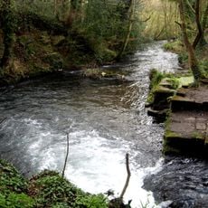
Frome Banks
1.5 km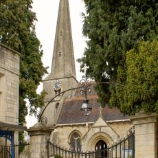
Church of St Laurence
1.7 km
Congregational Church
1.7 km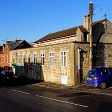
Church of Saint Alban
1.4 km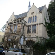
Stroud Spiritualist Church
1.8 km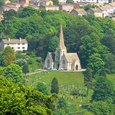
Cemetery Chapel
920 m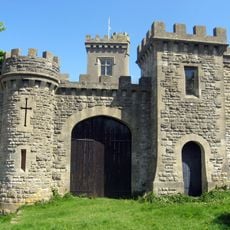
Rodborough Fort
1.4 km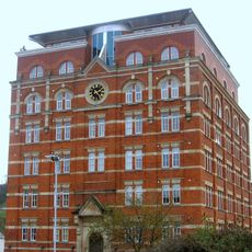
Hill Paul building
1.7 km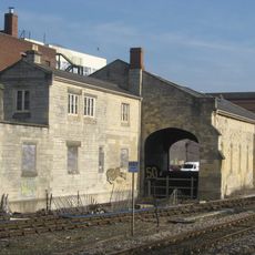
The Goods Shed
1.6 km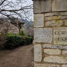
Corbett House And Corbett House Lodge
1.3 km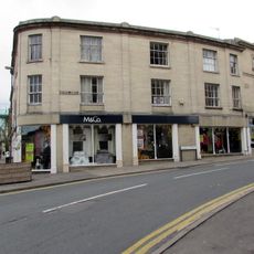
The Cooperative Stores
1.8 km
Clock Tower
1.7 km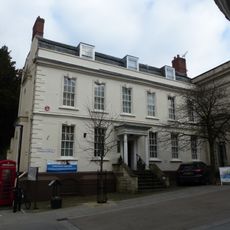
District Council Offices
1.8 km
Imperial Hotel
1.8 km
The Vicarage/garden railings at The Vicarage
1.7 km
57, High Street
1.7 km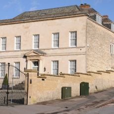
The Chestnuts
633 m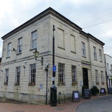
9, John Street
1.6 km
High Street
1.6 km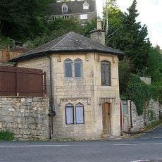
The Pike
663 m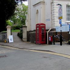
K6 Telephone Kiosk, High Street
1.8 km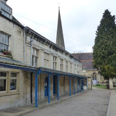
Church Hall
1.7 km
58, High Street
1.7 km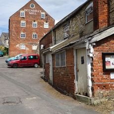
Piccadilly Mill East Block (Misters Wilkes)
1.3 kmReviews
Visited this place? Tap the stars to rate it and share your experience / photos with the community! Try now! You can cancel it anytime.
Discover hidden gems everywhere you go!
From secret cafés to breathtaking viewpoints, skip the crowded tourist spots and find places that match your style. Our app makes it easy with voice search, smart filtering, route optimization, and insider tips from travelers worldwide. Download now for the complete mobile experience.

A unique approach to discovering new places❞
— Le Figaro
All the places worth exploring❞
— France Info
A tailor-made excursion in just a few clicks❞
— 20 Minutes