
Post At Narrowing Of Road, architectural structure in Hackney, Greater London, UK
Location: London Borough of Hackney
GPS coordinates: 51.53362,-0.06416
Latest update: March 7, 2025 23:44
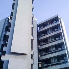
Keeling House
350 m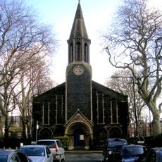
St Peter's, Bethnal Green
382 m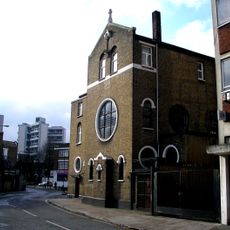
St. Casimir's Lithuanian Church
340 m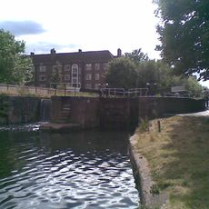
Acton's Lock
222 m
The Last Tuesday Society
466 m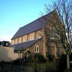
291 Gallery (Former St Augustine's Church)
358 m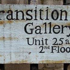
Transition Gallery
298 m
Noel Mander Church Organ Works
334 m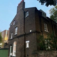
St Peter's Vicarage
362 m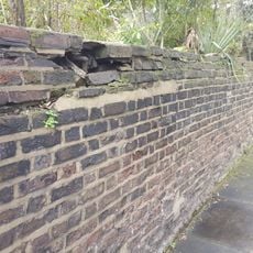
Garden Walls In Front Of Numbers 245 To 251 (Odd)
457 m
337-353, Hackney Road E2
244 m
456, Hackney Road E2
401 m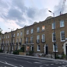
1-15, Queensbridge Road E2
456 m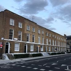
2-16, Queensbridge Road E2
433 m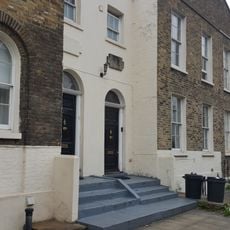
375-385, Hackney Road E2
215 m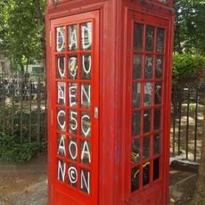
K2 Telephone Kiosk On Traffic Island At Junction With Columbia Road
358 m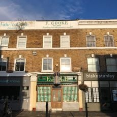
F Cooke's Eel, Pie and Mash Shop, Broadway Market
290 m
245-251, Hackney Road E2
447 m
444, Hackney Road E2
331 m
359 And 361, Hackney Road E2
227 m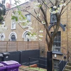
446-450, Hackney Road E2
336 m
5-23, Dericote Street E8
466 m
6-15, Croston Street E8
455 m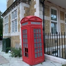
K2 Telephone Kiosk At Junction With Hackney Road
289 m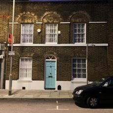
2, Pritchards Road E2
248 m
363-373, Hackney Road E2
219 m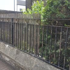
Railed Wall And Gate
380 m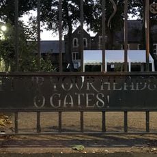
Railings And Gate Piers To North, West And South Sides Of Churchyard Of St Peter's Church
389 mReviews
Visited this place? Tap the stars to rate it and share your experience / photos with the community! Try now! You can cancel it anytime.
Discover hidden gems everywhere you go!
From secret cafés to breathtaking viewpoints, skip the crowded tourist spots and find places that match your style. Our app makes it easy with voice search, smart filtering, route optimization, and insider tips from travelers worldwide. Download now for the complete mobile experience.

A unique approach to discovering new places❞
— Le Figaro
All the places worth exploring❞
— France Info
A tailor-made excursion in just a few clicks❞
— 20 Minutes