
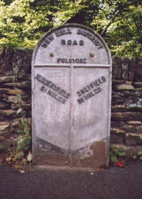
6.5 Miles Post Opposite No 30, building in Holme Valley, Kirklees, West Yorkshire, UK
Location: Holme Valley
Inception: 19 century
GPS coordinates: 53.57030,-1.75612
Latest update: March 6, 2025 12:23
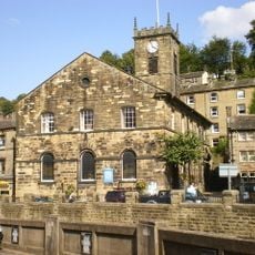
Church of the Holy Trinity
2 km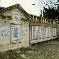
Holme Valley war memorial
2.1 km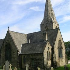
Church of the Holy Trinity
1.3 km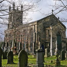
Christ Church
608 m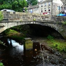
Hollowgate Bridge
2.2 km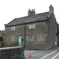
Low Fold Farm The Post Office (The Village)
2.2 km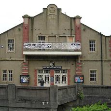
The Picturedrome
2 km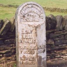
3 Miles Post Opposite Toss O'Coin Public House
1.8 km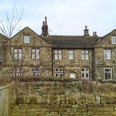
33,35,37,39, Totties Lane
530 m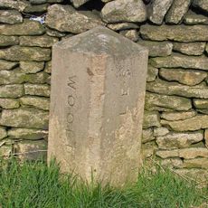
Ward Boundary Stone 50 Yards North Of Drive To Wickleden
2 km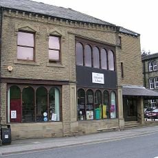
Holmfirth Library and Tourist Information Centre
2.1 km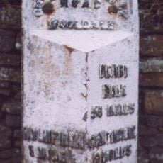
1 Mile Post (To North of Heyfield)
1.7 km
28, 29, Upper Gate
1.4 km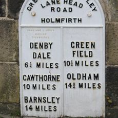
Mile Post, Hollowgate Bridge
2.2 km
50 and 52, The Village
2.3 km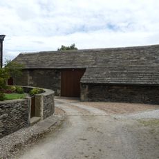
Barn 10 yards to east of Number 9 Upper Fold Farmhouse
2.3 km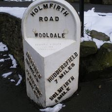
7 Miles Post 50 Yards South Of Junction With Washpit New Road
1.9 km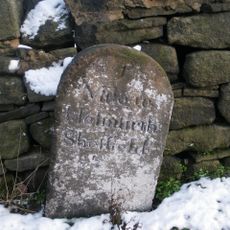
Mile Stone
2.2 km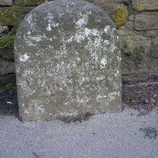
6 Miles Post Oposite No 119
2 km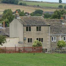
4, The Village
2.2 km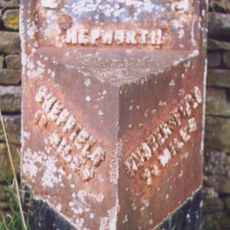
7.5 Miles Post Between Meal Hill Lane And Foster Place Lane
1.5 km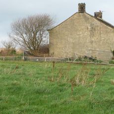
West Royd Farmhouse
1.7 km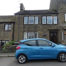
54, The Village
2.3 km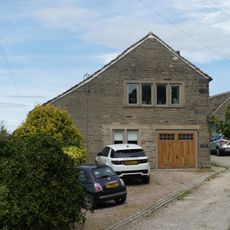
Principal barn 50 yards to south west of Upper Fold Farmhouse
2.2 km
Moor View Farmhouse
1.7 km
Small former barn now adjoining Number 5 Upper Fold Farmhouse
2.3 km
Upper Fold Farmhouse
2.3 km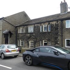
60, The Village
2.3 kmReviews
Visited this place? Tap the stars to rate it and share your experience / photos with the community! Try now! You can cancel it anytime.
Discover hidden gems everywhere you go!
From secret cafés to breathtaking viewpoints, skip the crowded tourist spots and find places that match your style. Our app makes it easy with voice search, smart filtering, route optimization, and insider tips from travelers worldwide. Download now for the complete mobile experience.

A unique approach to discovering new places❞
— Le Figaro
All the places worth exploring❞
— France Info
A tailor-made excursion in just a few clicks❞
— 20 Minutes