
Simmons Lower Reservoir, Stausee in den Vereinigten Staaten
Location: Providence County
GPS coordinates: 41.79306,-71.51361
Latest update: October 7, 2025 00:30
Governor William Sprague Mansion
4.7 km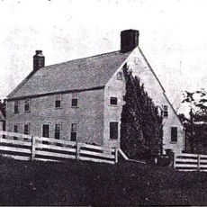
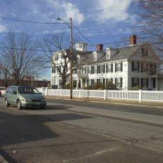
Thomas Fenner House
2.1 km
Snake Den State Park
6.1 km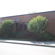
Cranston Public Library
6.4 km
Clemence-Irons House
5.7 km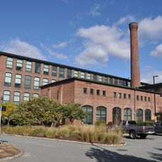
National and Providence Worsted Mills
6.9 km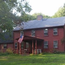
Edward Searle House
5.6 km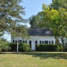
Westcote
5.4 km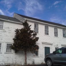
Knightsville Meetinghouse
3.9 km
Lippitt Hill Historic District
6.2 km
Our Lady of Lourdes Church Complex
6.6 km
West Winds
6.9 km
General Ice Cream Corporation Building
5.3 km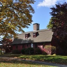
Sheldon House
2.3 km
Brown Avenue Historic District
6.4 km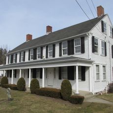
Cornell-Randall-Bailey Roadhouse
5.7 km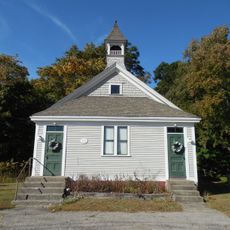
Belknap School
6.1 km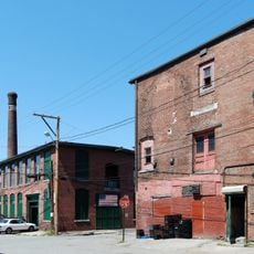
Weybosset Mills Complex
6.4 km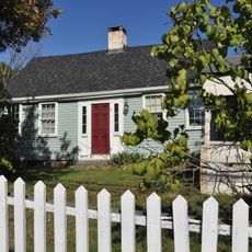
Eddy Homestead
5.3 km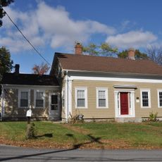
Thomas H. Hughes House
2.1 km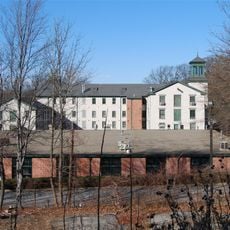
Dyerville Mill
5.7 km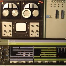
Retro-Computing Society of Rhode Island
6.3 km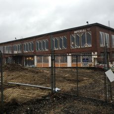
Rochambeau Worsted Company Mill
6 km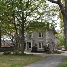
Arad Wood House
6.6 km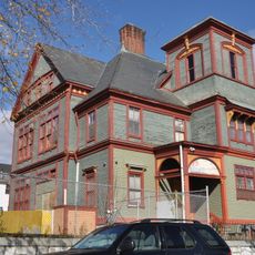
Covell Street School
6.4 km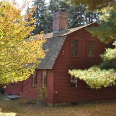
Joy Homestead
3.3 km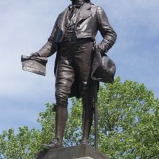
Ebenezer Knight Dexter Statue
5.9 km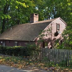
Nathan Westcott House
3.3 kmReviews
Visited this place? Tap the stars to rate it and share your experience / photos with the community! Try now! You can cancel it anytime.
Discover hidden gems everywhere you go!
From secret cafés to breathtaking viewpoints, skip the crowded tourist spots and find places that match your style. Our app makes it easy with voice search, smart filtering, route optimization, and insider tips from travelers worldwide. Download now for the complete mobile experience.

A unique approach to discovering new places❞
— Le Figaro
All the places worth exploring❞
— France Info
A tailor-made excursion in just a few clicks❞
— 20 Minutes