Enable Location

We need your location to show you interesting places around you

Discover nearby places

Find interesting locations and hidden gems around you

Precise directions

Get accurate directions and distances to places

Your location is never shared with other users. It's only used when you tap the location button.

Providence County

Log in to your account

Start exploring — it's free

Trusted by 61,867 travelers worldwide

Continue with Google
Continue with Apple
or

We will send you a code to connect

By continuing, you accept our Terms and Conditions and our Privacy Policy

Check your inbox

We've sent a pincode in your inbox. Please enter the code below.

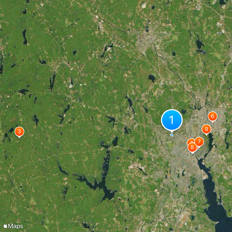
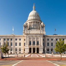
Providence County, Administrative division in Rhode Island, US.

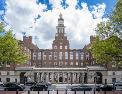
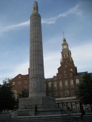
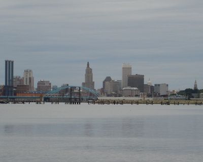
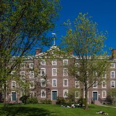
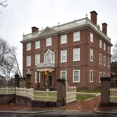
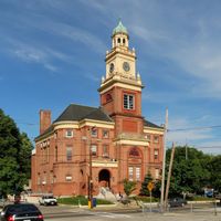
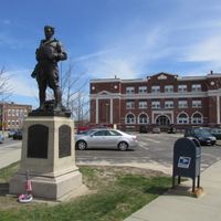
Providence County is an administrative region in Rhode Island containing sixteen municipalities spread across land and water areas. The state capital, Providence, sits within this county alongside smaller towns and surrounding communities.

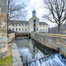
The region was established in 1703 as Providence Plantations, originally containing five towns including Providence and Warwick. Additional municipalities developed over time as population and settlement expanded throughout the area.

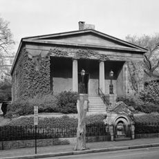
The region brings together people from European, African American, and Hispanic backgrounds whose presence shapes neighborhoods, food, and local customs. Walking through the towns, you notice this mix in storefronts, gathering places, and the languages you hear.

The region has no county government; each municipality manages its own affairs through local administration. Visitors should know that practical matters like permits or services are handled at the town level.

The region contains more than 60 percent of Rhode Island's entire population in a relatively compact space. This dense concentration of people makes it the most populated portion of the entire state.

The community of curious travelers

AroundUs brings together thousands of curated places, local tips, and hidden gems, enriched daily by 60,000 contributors worldwide.

Start exploring
Location
Inception
1703
Capital city
Providence
Shares border with
Norfolk County, Kent County, Bristol County, Worcester County, Windham County, Northeastern Connecticut Planning Region
GPS coordinates
41.85278,-71.45611
Latest update
December 17, 2025 08:30
Around this place
First Baptist Church in America
United States of America

First Baptist Church in America

4.9 km
Jerimoth Hill
United States of America

Jerimoth Hill

26.8 km
Rhode Island State House
United States of America

Rhode Island State House

4.2 km
111 Westminster Street
United States of America

111 Westminster Street

4.9 km
McCoy Stadium
United States of America

McCoy Stadium

7.5 km
Moses Brown School
United States of America

Moses Brown School

5.3 km
Providence Biltmore
United States of America

Providence Biltmore

4.8 km
Swan Point Cemetery
United States of America

Swan Point Cemetery

6 km
Westminster Arcade
United States of America

Westminster Arcade

5 km
Roger Williams Park Zoo
United States of America

Roger Williams Park Zoo

7.7 km
Classical High School
United States of America

Classical High School

4.9 km
Roger Williams Park
United States of America

Roger Williams Park

8.5 km
Rhode Island School of Design Museum
United States of America

Rhode Island School of Design Museum

5 km
Providence Performing Arts Center
United States of America

Providence Performing Arts Center

5 km
Cumberlandite
United States of America

Cumberlandite

16.9 km
Pawtuxet Village
United States of America

Pawtuxet Village

11.3 km
Trinity Repertory Company
United States of America

Trinity Repertory Company

4.7 km
Omni Providence Hotel
United States of America

Omni Providence Hotel

4.5 km
Providence Athenaeum
United States of America

Providence Athenaeum

5.1 km
Blackstone River Valley National Historical Park
United States of America

Blackstone River Valley National Historical Park

6.7 km
University Hall
United States of America

University Hall

5.3 km
Brown Stadium
United States of America

Brown Stadium

5.3 km
United States of America

Fort Thunder

3.3 km
Meehan Auditorium
United States of America

Meehan Auditorium

5.3 km
John Brown House
United States of America

John Brown House

5.5 km
Crook Point Bascule Bridge
United States of America

Crook Point Bascule Bridge

6.7 km
Prospect Terrace Park
United States of America

Prospect Terrace Park

4.8 km
Textron Tower
United States of America

Textron Tower

5 km
Show the full map
« Providence County - Administrative division in Rhode Island, US » is provided by Around Us (aroundus.com). Images and texts are derived from Wikimedia project under a Creative Commons license. You are allowed to copy, distribute, and modify copies of this page, under the conditions set by the license, as long as this note is clearly visible.

Discover hidden gems everywhere you go!

From secret cafés to breathtaking viewpoints, skip the crowded tourist spots and find places that match your style. Our app makes it easy with voice search, smart filtering, route optimization, and insider tips from travelers worldwide. Download now for the complete mobile experience.

Around Us App Screenshot

A unique approach to discovering new places

Le Figaro

All the places worth exploring

France Info

A tailor-made excursion in just a few clicks

20 Minutes

Around Us
Travel Guide & Maps
Download

Send to your phone

QR Code
1

Open the camera app on your mobile.

2

Point at the QR code with your camera. A notification will appear.

3

Tap the notification to open the link.