Enable Location

We need your location to show you interesting places around you

Discover nearby places

Find interesting locations and hidden gems around you

Precise directions

Get accurate directions and distances to places

Your location is never shared with other users. It's only used when you tap the location button.

North Providence

Log in to your account

Start exploring — it's free

Trusted by 65,560 travelers worldwide

Continue with Google
Continue with Apple
or

We will send you a code to connect

By continuing, you accept our Terms and Conditions and our Privacy Policy

Check your inbox

We've sent a pincode in your inbox. Please enter the code below.

North Providence
Discussion Reviews 1 Photos
16.7k Popularity

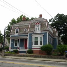
North Providence, town in Rhode Island, United States

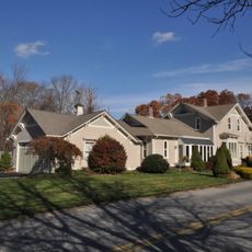
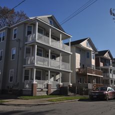
North Providence is a town in Providence County, Rhode Island, made up of several distinct village areas. Two main corridors, Mineral Spring Avenue and Smith Street, run through the town and concentrate most of its shops, schools, and parks.

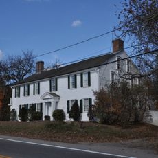
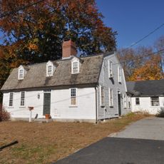
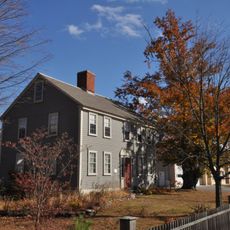
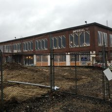
The area was settled in the late 1700s by farmers seeking independence from the city of Providence to manage their land on their own terms. That agricultural past left a mark on the layout of the town, which still consists of closely knit neighborhoods rather than a single urban center.

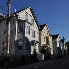
The name North Providence simply points to its position just north of the city of Providence. Along Mineral Spring Avenue, small shops and local restaurants serve the everyday needs of residents, giving the main street a neighborhood feel.

North Providence is easy to reach by car via I-95, Route 295, and Route 146, and public bus lines also serve the area. Those without a car will find most shops and services within walking distance of Mineral Spring Avenue and Smith Street.

Stephen Olney Park has a skatepark alongside tennis and basketball courts, while Governors Notte Park nearby offers a pond with a small beach. The two parks sit close to each other and together cover a wide range of outdoor activities in one part of town.

The community of curious travelers

AroundUs brings together thousands of curated places, local tips, and hidden gems, enriched daily by 60,000 contributors worldwide.

Start exploring
Elevation above the sea
56 m
GPS coordinates
41.86000,-71.45639
Latest update
March 3, 2026 08:20
Around this place
Chapey Field at Anderson Stadium
United States of America

Chapey Field at Anderson Stadium

2.5 km
Clemence-Irons House
United States of America

Clemence-Irons House

3.3 km
Esek Hopkins House
United States of America

Esek Hopkins House

3.6 km
Joseph Smith House
United States of America

Joseph Smith House

685 m
Allendale Mill
United States of America

Allendale Mill

2.3 km
Wanskuck Historic District
United States of America

Wanskuck Historic District

2.1 km
Rhode Island Tool Company building
United States of America

Rhode Island Tool Company building

3.9 km
George M. Bradley House
United States of America

George M. Bradley House

2.6 km
Jenckes House
United States of America

Jenckes House

4 km
Our Lady of Lourdes Church Complex
United States of America

Our Lady of Lourdes Church Complex

3.9 km
Capt. Stephen Olney House
United States of America

Capt. Stephen Olney House

669 m
William L. Bailey House
United States of America

William L. Bailey House

2.7 km
Smith Street Primary School
United States of America

Smith Street Primary School

3.9 km
Winsor-Swan-Whitman Farm
United States of America

Winsor-Swan-Whitman Farm

2.2 km
Wanskuck Library-Providence Community Library
United States of America

Wanskuck Library-Providence Community Library

2.1 km
Pullen Corner School
United States of America

Pullen Corner School

4.1 km
Belknap School
United States of America

Belknap School

3.9 km
Zachariah Allen House
United States of America

Zachariah Allen House

1.9 km
Dyerville Mill
United States of America

Dyerville Mill

3.8 km
Charles Dowler House
United States of America

Charles Dowler House

3.4 km
Whipple-Angell-Bennett House
United States of America

Whipple-Angell-Bennett House

1.4 km
Pekin Street Historic District
United States of America

Pekin Street Historic District

3.7 km
Edwin H. Farnum House
United States of America

Edwin H. Farnum House

3.1 km
Rochambeau Worsted Company Mill
United States of America

Rochambeau Worsted Company Mill

4.1 km
Andrew Dickhaut Cottages Historic District
United States of America

Andrew Dickhaut Cottages Historic District

3.9 km
Elliot-Harris-Miner House
United States of America

Elliot-Harris-Miner House

2.7 km
WaterFire Arts Center
United States of America

WaterFire Arts Center

4 km
Oakland Avenue Historic District
United States of America

Oakland Avenue Historic District

3.2 km
Show the full map
Reviews
Share your experience

No review yet

Discussions
Start a discussion...

No discussion yet

« North Providence - town in Rhode Island, United States » is provided by Around Us (aroundus.com). Images and texts are derived from Wikimedia project under a Creative Commons license. You are allowed to copy, distribute, and modify copies of this page, under the conditions set by the license, as long as this note is clearly visible.

Discover hidden gems everywhere you go!

From secret cafés to breathtaking viewpoints, skip the crowded tourist spots and find places that match your style. Our app makes it easy with voice search, smart filtering, route optimization, and insider tips from travelers worldwide. Download now for the complete mobile experience.

Around Us App Screenshot

A unique approach to discovering new places

Le Figaro

All the places worth exploring

France Info

A tailor-made excursion in just a few clicks

20 Minutes

Around Us
Travel Guide & Maps
Download

Send to your phone

QR Code
1

Open the camera app on your mobile.

2

Point at the QR code with your camera. A notification will appear.

3

Tap the notification to open the link.