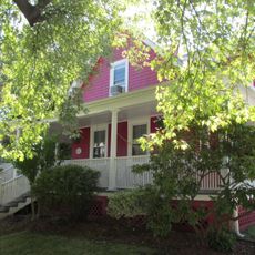
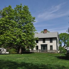
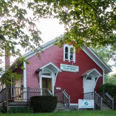
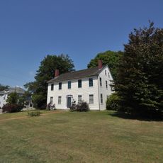
Pawtuxet Village, Historic district in Cranston and Warwick, United States
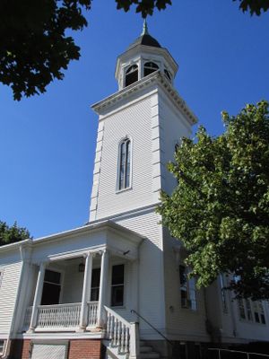
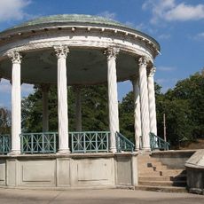
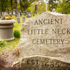
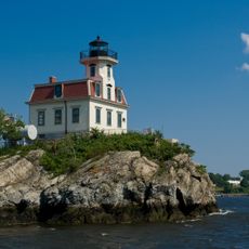
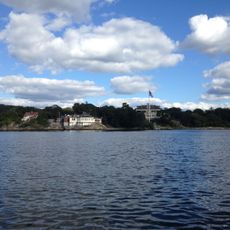
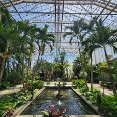
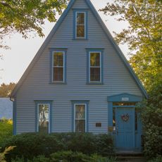
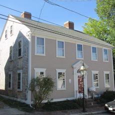
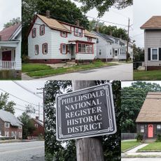
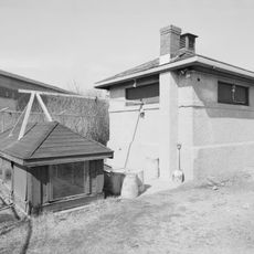
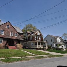
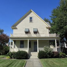
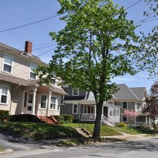
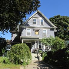
Pawtuxet Village is a historic district where the Pawtuxet River meets the Providence River and Narragansett Bay. It contains Colonial-era buildings and structures related to maritime trade, showing how the community developed around water access and commerce.
In 1772, this location saw early military action against British rule when patriots attacked a British revenue vessel. That event became a turning point in the tensions between colonists and British authority.
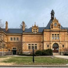
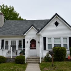
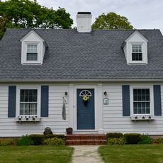
The district reflects its roots in early manufacturing, which shaped how people lived and worked here for generations. Walking through, you can see how the waterfront location influenced both the buildings and the daily routines of residents.
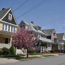
The district is easy to explore on foot, with pathways along the water and through the historic streets. Several cafes and restaurants provide spots to rest and enjoy local food, especially during seasonal events throughout the year.
The name comes from Native American language and means Little Falls, describing the water power that drew early settlers here. Those same water features still shape how the place looks and functions today.
Location: Cranston
Location: Warwick
GPS coordinates: 41.76361,-71.39083
Latest update: December 8, 2025 19:56
Roger Williams Park
2.8 km
Crescent Park Looff Carousel
2.8 km
Crescent Park
2.9 km
Little Neck Cemetery
3 km
Pomham Rocks Light
2.4 km
Roger Williams Park Museum of Natural History and Planetarium
3.2 km
Edgewood Yacht Club
1.4 km
Squantum Association
3.3 km
Roger Williams Park Botanical Center
2.6 km
Rhodes-on-the Pawtuxet
478 m
Sabin Point Light
1.4 km
Rosedale Apartments
2.1 km
Roger Williams Botanical Center
2.5 km
Bicknell-Armington Lightning Splitter House
2.7 km
Christopher Rhodes House
46 m
Phillipsdale Historic District
3 m
Edgewood Historic District-Shaw Plat
1.3 km
John Waterman Arnold House
1.2 km
District 6 Schoolhouse
3.1 km
Whitcomb Farm
2.8 km
Washington Park Sewage Pumping Station
3.1 km
Edgewood Historic District-Sally Greene Homestead Plats
1 km
Elm Tree Plat Historic District
3.2 km
Rose Land Park Plat Historic District
3.4 km
Edgewood Historic District–Anstis Greene Estate Plats
1.2 km
Edgewood Historic District-Arnold Farm Plat
1.6 km
Edgewood Historic District-Aberdeen Plat
767 m
Edgewood Historic District-Taft Estate Plat
778 mVisited this place? Tap the stars to rate it and share your experience / photos with the community! Try now! You can cancel it anytime.
Discover hidden gems everywhere you go!
From secret cafés to breathtaking viewpoints, skip the crowded tourist spots and find places that match your style. Our app makes it easy with voice search, smart filtering, route optimization, and insider tips from travelers worldwide. Download now for the complete mobile experience.
A unique approach to discovering new places❞
— Le Figaro
All the places worth exploring❞
— France Info
A tailor-made excursion in just a few clicks❞
— 20 Minutes