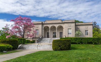
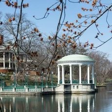
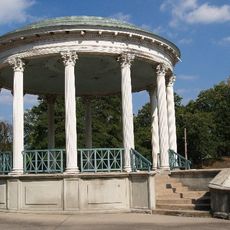
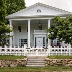
Cranston, City center in Providence County, United States.
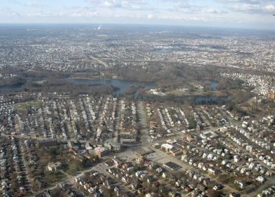
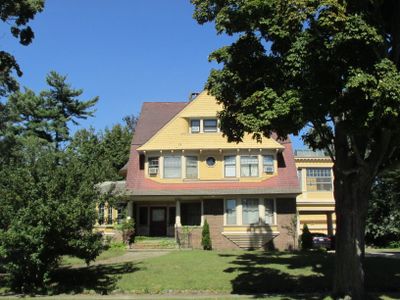
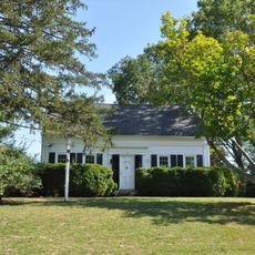
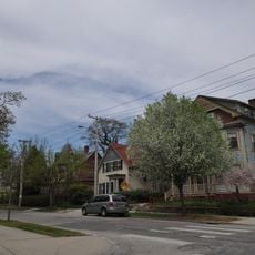
Cranston is the second largest city in Rhode Island and spreads from the Pawtuxet River to Narragansett Bay with residential streets, shops, and low buildings. Roads run through quiet neighborhoods of single-family homes and lead to shopping centers where parking lots and wide avenues shape everyday life.
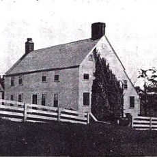
The settlement separated from Providence in 1754 north of the Pawtuxet River and remained a farming community for many years. It gained city status in 1910 after factories and homes began clustering along the waterways.
The St. Mary's Feast began in 1905 and brings traditions from the Italian town of Itri to life each year through processions and gatherings. Families meet in streets and parks during the event, turning parts of the city into a place where old recipes and music are passed from one generation to the next.
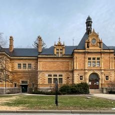
Garden City Center and Chapel View offer shops and restaurants for everyday needs, while small parks provide spots for walking. Many places are easiest to reach by car because distances between neighborhoods can be long.
The geographic center of Rhode Island's population falls within the city limits, a point calculated by census data. This spot shifts slightly with new counts but often stays nearby, showing where most people live in the small state.
Location: Providence County
Inception: 1754
Elevation above the sea: 19 m
Shares border with: Reservoir Triangle, Johnston, Warwick, West Warwick, Scituate
Website: http://cranstonri.gov
GPS coordinates: 41.78333,-71.44167
Latest update: December 13, 2025 17:33
Roger Williams Park Zoo
2.2 km
Roger Williams Park
2.6 km
Pawtuxet Village
4.8 km
Statue of Christopher Columbus
2 km
Governor William Sprague Mansion
1.5 km
Thomas Fenner House
4 km
Roger Williams Park Museum of Natural History and Planetarium
2.4 km
Edgewood Yacht Club
4.3 km
The Zoo In Forest Park
2.2 km
Cranston Public Library
3.5 km
Roger Williams Park Botanical Center
2.8 km
Rhodes-on-the Pawtuxet
4.5 km
Temple Beth-El
3 km
Arkwright Bridge
10.6 km
Edward Searle House
5.2 km
Rosedale Apartments
4.1 km
St. Michael's Roman Catholic Church, Convent, Rectory, and School
3.1 km
Westcote
4 km
Knightsville Meetinghouse
2.3 km
Lippitt Hill Historic District
9.1 km
Return Sludge Pumping Station, Fields Point Sewage Treatment Plant
4.6 km
Elmwood Historic District
2.4 km
Roger Williams Botanical Center
2.9 km
Christopher Rhodes House
4.7 km
Phillipsdale Historic District
4.8 km
West Winds
8.4 km
Edgewood Historic District-Shaw Plat
4 km
John Waterman Arnold House
4.8 kmVisited this place? Tap the stars to rate it and share your experience / photos with the community! Try now! You can cancel it anytime.
Discover hidden gems everywhere you go!
From secret cafés to breathtaking viewpoints, skip the crowded tourist spots and find places that match your style. Our app makes it easy with voice search, smart filtering, route optimization, and insider tips from travelers worldwide. Download now for the complete mobile experience.
A unique approach to discovering new places❞
— Le Figaro
All the places worth exploring❞
— France Info
A tailor-made excursion in just a few clicks❞
— 20 Minutes